The KVR, then a subsidiary of the Canadian Pacific Railway (CPR), was built from Midway, Mile"0", to Hope in the years 1910 to 1915, with the first passenger train passing through Rhone on August 29, 1915. Passenger service was discontinued here January 17, 1964, but the line remained in operation until the CPR, after a decade of failure, finally convinced the government to allow it to abandon the line, officially abandoning it on December 22, 1978. Tracks in this section were lifted in 1979.
An ambitious irrigation scheme begun in 1918 by then Premier John Oliver would soon turn the southern Okanagan from a desert wasteland to a highly productive farming, market gardening and wine producing area. The area became so productive so quickly that, in 1920, the CPR deemed it necessary to begin construction of a spur line, the
Osoyoos Subdivision, south from Penticton, eventually to reach Osoyoos at the U.S. border.
The scheme was carried out in four sections, which initially included a barge section on Skaha Lake. The first section, Penticton to Skaha, opened on November 28, 1923; the second, Skaha to Okanagan Falls, opened on October 20, 1931; the third, Okanagan Falls to Haynes opened on November 28, 1933; the final section, Haynes to Osoyoos, did not open until December 27, 1944.
Service continued on the CPR's
Osoyoos Subdivision until, with the improvements in roads and road connections, the fruit and passenger traffic on the subdivision was insufficient for the CPR to make a profit. Thus, in May, 1972 service in the South Okanagan, which had begun at Kelowna in 1911, ceased.
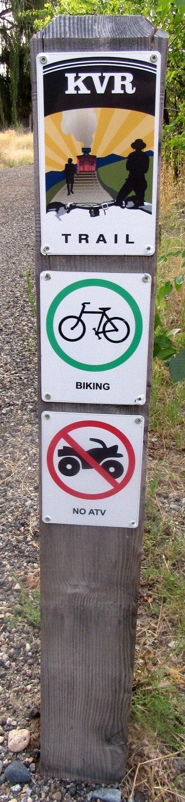
The old KVR rail bed was developed during the 1990s to become the
Kettle Valley Rail Trail, part of the longest rail trail network in British Columbia. It now connects to the 27,000 kilometer
Trans Canada Trail, AKA
The Great Trail, known as the planet’s longest “trail” network.
Coordinates given are at the junction of the rail bed with Thorpe road, south of Oliver, about the midway point of the historic section of the KVR included in the heritage designation.
KVR Right of Way
Description of Site:
This site consists of a raised rail bed right of way which passes south from the point Vaseux Lake drains into the Okanagan River through Area C to the southern boundary at Road 22. The right of way is variously identified as District Plan A423, 13.7 A 429, pl 1957, pl 1790, and pl. A1057. Portions of the right of way may be viewed at 49 degrees, 5’ 9.0” N, 119 degrees, 32’ 53.1” W and at 49 degrees, 8’ 49.5” N, 119 degrees, 4’ 29.6” W.
Heritage Value of Site:
Economic:
This site reminds the community of the reliance on an appropriate method of transportation for fruit, and other products, leaving this portion of the Valley. Without a reliable rail service line, there would have been no way for the orchardists and farmers to sell their fruit to lucrative city markets elsewhere in Canada, and the success of the ‘Oliver Project’ may have been jeopardized. At one point, this section of rail was the most profitable rail division of the CPR.
Social:
This rail bed is prized for the value it holds as a surviving tract of land which has the potential to be a longitudinal parkway through Area C.
Character Defining Elements:
- The presence of a raised rail bed relative to the surrounding topography
- The recognition as an existing right of way
- Relatively undisturbed return to natural vegetation compared with surrounding areas in many locations along the length
- The function of tying together economic hub sites such as current and former packing houses
- The appearance of a portion of the right of way as a three point train turn around
- The presence of rail bridge timbers at Vaseux Lake
From the RDOS Heritage Register