The Kettle Valley Rail Trail- Columbia & Western Rail Trail is the longest rail trail network in British Columbia.
This spur link from Summerland to Osoyoos is 79.5 km - 49.4 miles, connecting to the 27,000 kilometer Trans Canada Trail, known as the planet’s longest “trail” network.
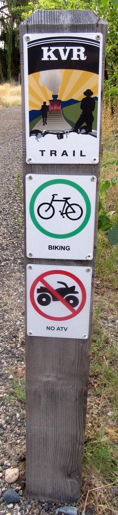
The Kettle Valley Rail (KVR) Trail was once a comprehensive railroad system. The decommissioned tracks are now home to an extensive recreational trail providing almost 650 km (400 mi) of connected pathways throughout the region. The KVR is designated as a walking and bike trail only.
This portion of the KVR from Summerland to Osoyoos passes vineyards, apple orchards and local fruit markets. Okanagan Falls and Oliver offer stunning views of McIntyre Bluff. There are four lakes along the trail. Summerland borders Okanagan Lake, walking south from Penticton to Okanagan Falls is Shaha Lake, known for its sandy beaches. Next is Vaseux Lake, a protected marsh and a Wildlife Centre. There you can enjoy a leisurely stroll down a wooden boardwalk for bird watching, observe the rare painted turtles and other water fowl.
You will also be hiking in some areas along the Okanagan River through Oliver. The Okanagan River starts with the overflow from Okanagan Lake in Penticton and continues to Northern Washington where it joins the Columbia River.
Continuing on to Osoyoos you will pass more vineyards and fruit orchards, and some of the most amazing desert landscapes.
The coordinates take you to the parking area where this trail head begins. You can continue south to Osoyoos where the warmest lake in Canada is located or you can proceed north to Oliver.
The map below shows this KVR spur section of the trail from Summerland to Osoyoos. From the red arrow to downtown Osoyoos is about 6 km.
![]()