
Val Haynes Bridge - Osoyoos, British Columbia
Posted by:  T0SHEA
N 49° 05.339 W 119° 32.130
11U E 314886 N 5440444
Val Haynes Bridge is located on Road 22 linking Black Sage Road and Hwy. 97. There is a kiosk at the parking area that explains the Osoyoos Oxbows.
Waymark Code: WM134J6
Location: British Columbia, Canada
Date Posted: 09/14/2020
Views: 0
Val Haynes Bridge crosses the Okanagan River Channel proving safe passage through this delicate wetlands. The bridge is a single lane with a wood plank bed and about 400 meters in length. The GVW (gross vehicle weight) is 19,000 with vertical clearance of 4.2 meters. The bridge is in supported by two sections.
The wood plank bed appears to be oak and runs the entire length of the bridge.
At the turn off from Black Sage Road to Road 22 is the old Haynes Ranch barn and across the road are 2 other farm buildings. As you continue down Road 22 toward the bridge, watch for turtles.
Osoyoos Oxbows with its diverse ecosystem makes this one of the most unique areas for viewing. It is not only a premium bird watching location it supports grazing mule deer and big horn sheep. Among the tall grasses, with patience, you may observe painted turtles and the Great Basin Pocket Mouse, several species of waterfowl, including Cinnamon Teal. There are many species that are endangered including the Blotched Tiger Salamander. The three small shallow ponds are ideal for the Great Basin Spadefoot and other amphibians, and a high diversity of plants.
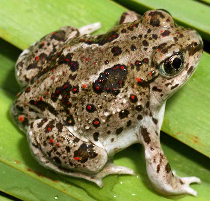
Great Basin Spadefoot
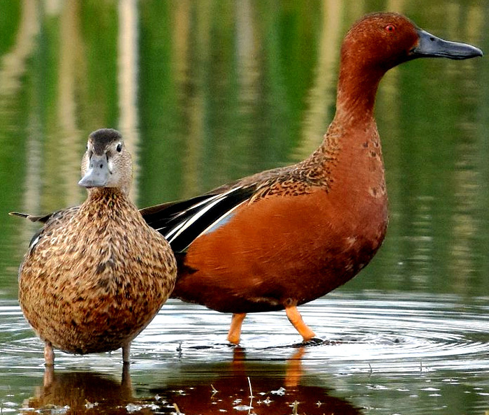
Cinnamon Teal