|
 Uphill Neighbourhood - Nelson, BC Posted by:  ScroogieII ScroogieII
N 49° 29.306 W 117° 17.442
11U E 478946 N 5481795
The Heritage Capital of British Columbia, the city of Nelson is home to over 350 heritage sites, many of which will be found in the city's Uphill Neighbourhood.
Waymark Code: WM134BA
Location: British Columbia, Canada
Date Posted: 09/12/2020
Views: 2
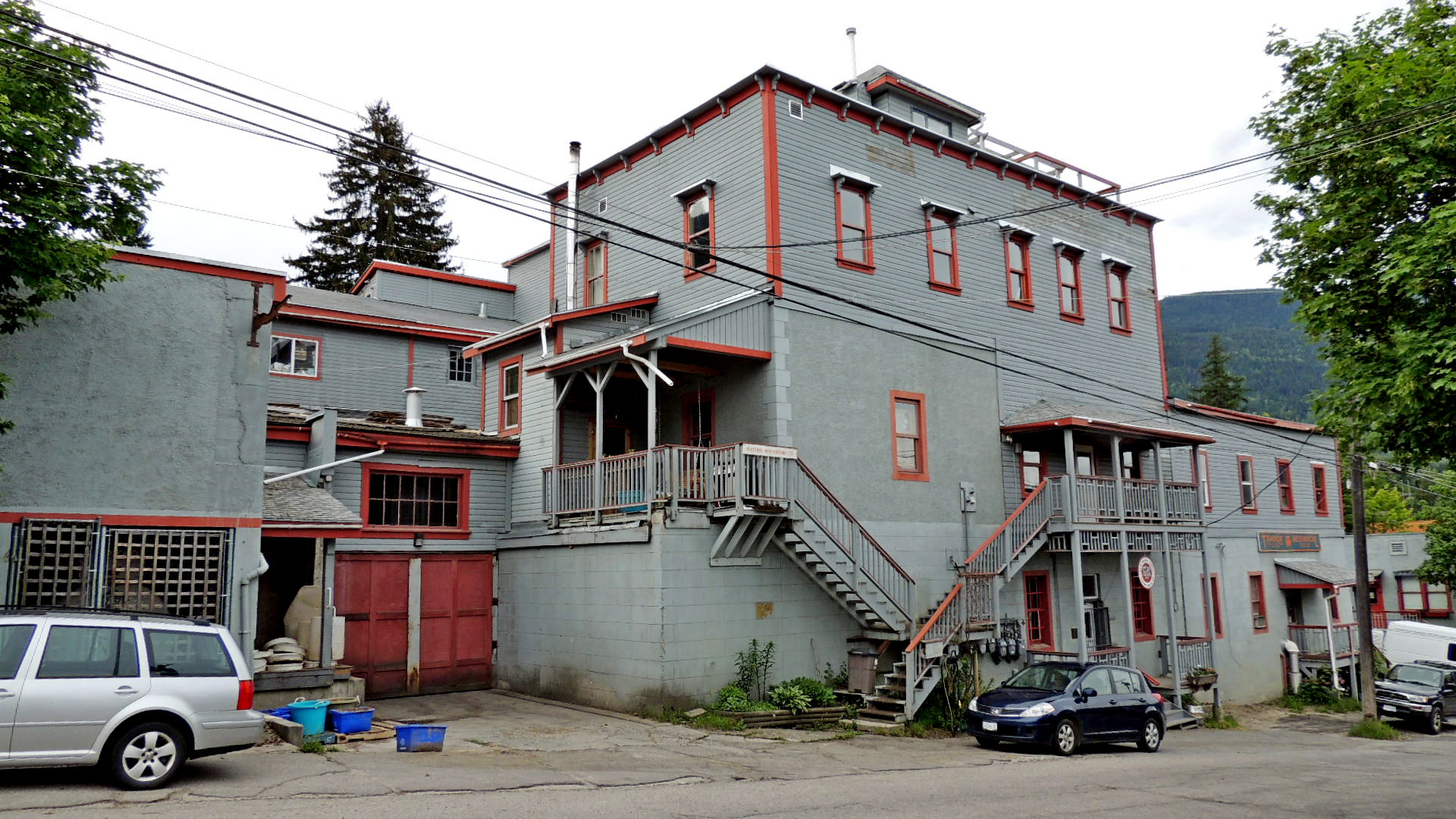
The lucrative silver, lead, copper and gold finds at Toad Mountain, immediately above Nelson, in 1886 and 1887 are what led to the foundation of the city. Settlement of Nelson quickly began on the lower reaches of the flats along the southern shore of the West Arm of Kootenay Lake, the site of the earliest settlers' tents and buildings. The lakeside location of the Canadian Pacific Railway tracks and station established the industrial use of the waterfront, as did the location of the steamship wharf, taken over by the C.P.R. in 1909. As the city expanded, both commercial and residential development crept up the hillside to the south and out toward Fairview to the east. The present Uphill neighbourhood was quickly filled with residences to its upper limit, marked by the location of Nelson Memorial Cemetery. Within the neighbourhood were eventually the city's churches, its schools, its fire hall, and several businesses, such as the reputedly haunted. Nelson Brewery, built in 1899.
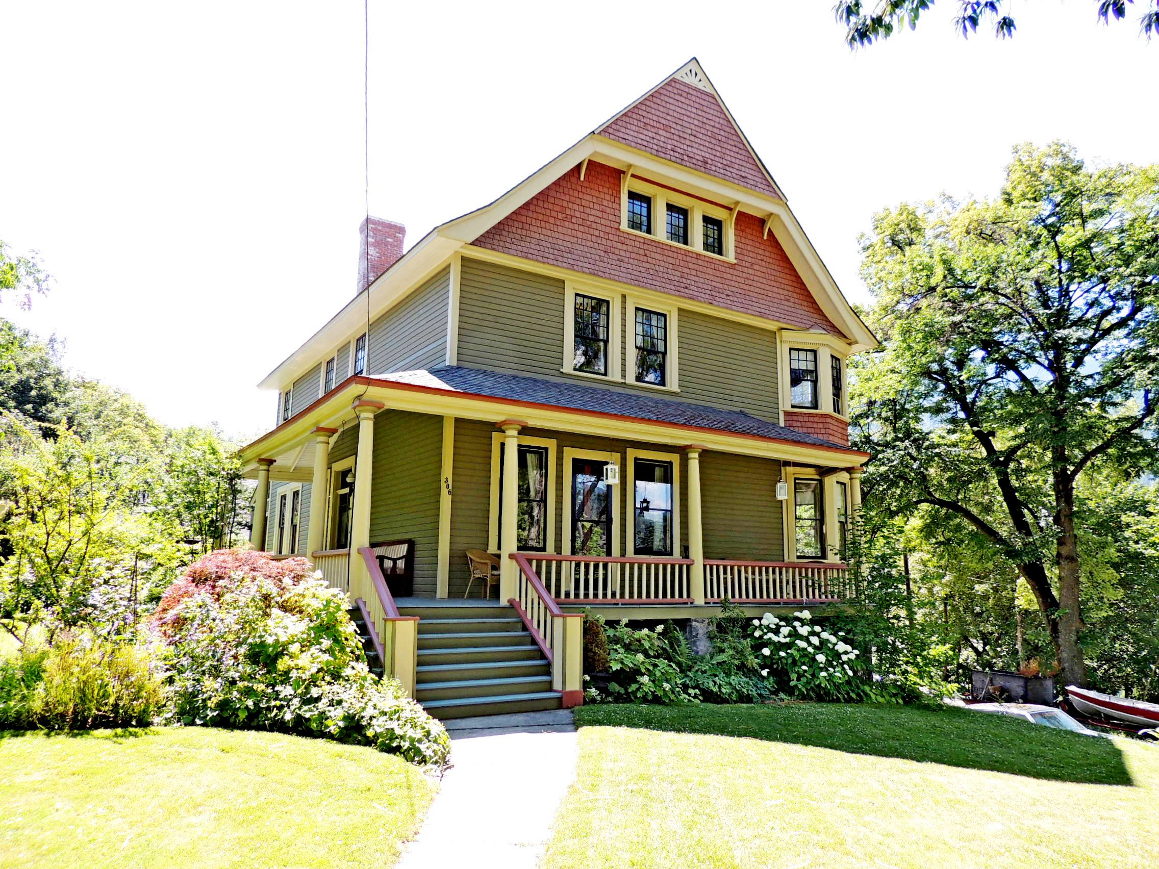
Today there are many Victorian heritage residences within the neighbourhood, from simple one storey cottages to multi-storey Victorian mansions. A great many, possibly the majority, have been recently restored, appearing as grand today as in the year they were built. Very few of the original residences in the district, or in the city, for that matter, have been razed and replaced by contemporary structures. As a result, Nelson has come to be known as British Columbia's heritage capital, with the greatest per capita number of heritage buildings of any city in the province, over 350 at last count.
Coordinates given are at the 1913 Nelson Fire Hall, one of the heritage focal points of the neighbourhood.
Uphill Neighbourhood
DESCRIPTION OF HISTORIC PLACE
The Uphill Neighbourhood is a predominantly singlefamily residential area located to the south of the downtown commercial district of Nelson, B.C. Uphill is bounded approximately by Victoria, Park, Falls and Houston streets. The neighbourhood steps up the steep slope from the downtown core, and is an area of attractive houses, steep roads, and streetscapes with mature trees.
HERITAGE VALUE
The Uphill neighbourhood has historical value through its identification in the earliest surveys as land suited to residential development above Nelson’s commercial core. It is important for its layout associated with these early surveys, demonstrating lot lines that closely follow the original Frank Herbert Latimer survey of 1891 which subdivided the remaining unsurveyed lots in District Lots 95 and 150 and the Hume addition, surveyed by A.S. Farwell in 1889. The Uphill area is representative of typical frontier town development, which laid out the geometric street grid regardless of the local geography, and is noted for the uniformity of its parcels for primarily residential purposes.
The neighbourhood is important culturally for its demonstration of housing and development trends in Nelson. Generally, earlier town houses were constructed lower down the slope near the commercial areas, providing living accommodations for professionals, merchants and their families. Later town houses were built further uphill, reflecting a growth outward from the commercial core as Nelson grew due to the prosperity of nearby mines and the local population swelled. Farm-like cottages in upper Uphill reflect the area’s early development as agricultural and orchard lands.
The locations of the anomalous mixed-use and industrial-use properties scattered among the houses often relate to original natural features, such as the location of the brewery near the Ward Creek bed, The numerous churches in the lower reaches of Uphill, and the presence of schools and hospitals, are evidence of the change in population from single men to family units and of the early cultural maturation of the growing population.
The Uphill neighbourhood is important for its aesthetic values, including mature boulevard trees, and plantings on private property, reflecting an early society with high cultural aspirations through wellmade residential streets. Remnants of groves of fruit trees, found in the higher reaches of Uphill, give an agricultural order and quality to the residential yards not typical of present day residential development. Unpaved lanes with informal gardens and accessory buildings such as garages, sheds provide picturesque house settings. Often constructed by individual property owners, the stone and concrete retaining walls and battered-wall slopes are a built response to the natural topography, the overlaid survey grid, and as a means to enhance the character of residential properties. These walls bring a unique historical and aesthetic character to the neighbourhood.
Uphill has many good examples of residential design from different historical periods and in differing styles. The neighbourhood provides a rich, varied backdrop to the commercial core with its stepped facades set in mature trees, as well as variety in its atypical building forms of mixed-use, cultural and industrial buildings.
The area is important for the considerable amount of building conservation undertaken, which reflects popular support of the built heritage in the Uphill neighbourhood.
From the City of Nelson Heritage Register, Page 7

 |
 |
|
Central School |
Nelson Brewing |
 |
 |
|
306 Silica Street |
Nelson United Church |
 |
 |
|
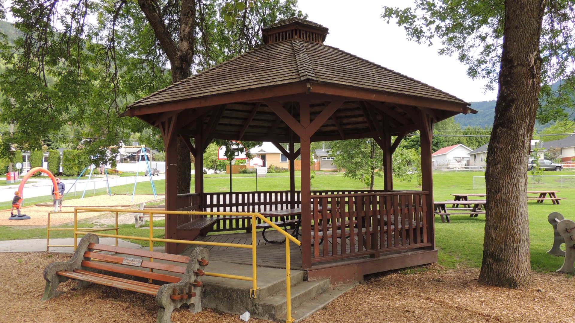
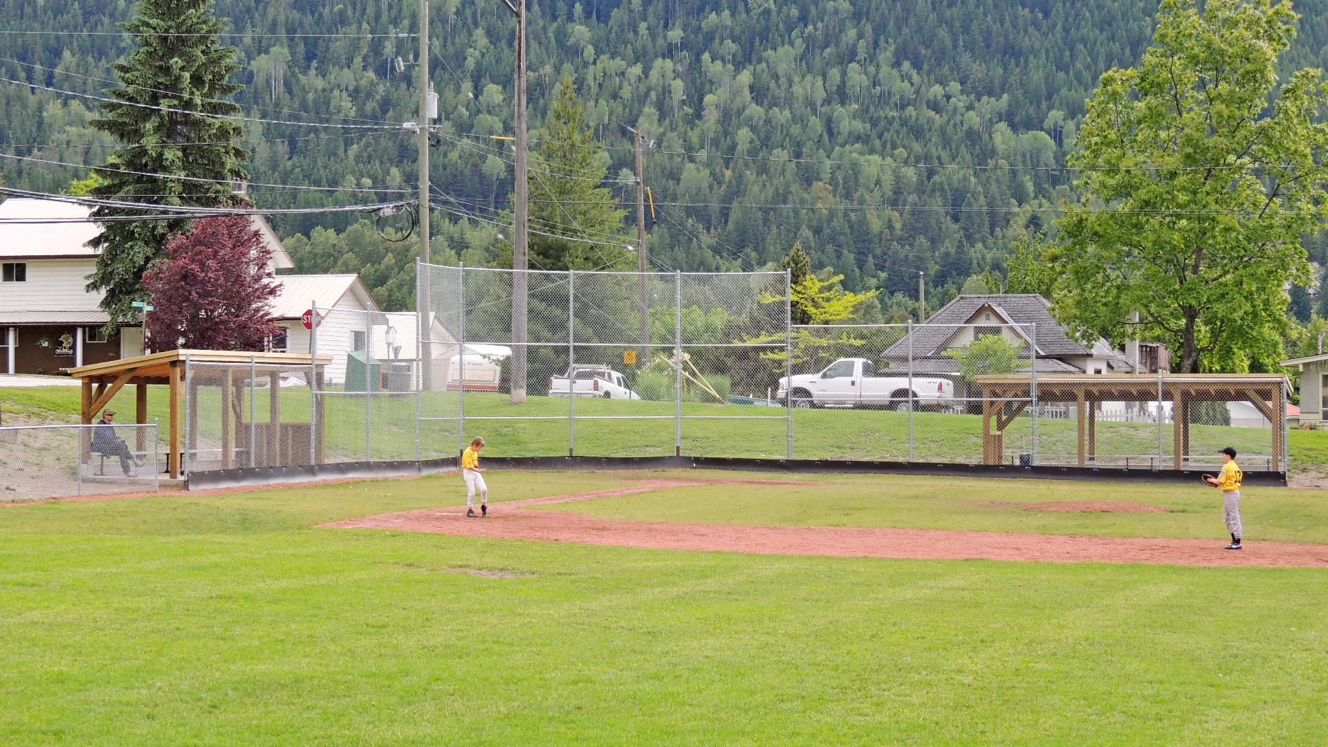
Lions Uphill Park |
Lions Uphill Park |
Official Heritage Registry: [Web Link]

Address:
Bordered by Victoria, Park, Falls and Houston Streets
Nelson, BC
Heritage Registry Page Number: Not listed
|
Visit Instructions:
To log a visit to a Waymark in this category at least one photo of the property, taken by the visitor, must be included with the visit, as well any comments they have concerning either their visit or the site itself. Suggested inclusions are: what you like about the site, its history, any deviations from the description in the heritage listing noted by the visitor, and the overall state of repair of the site.
Recent Visits/Logs:
| There are no logs for this waymark yet. |
|
|
|
|