
Little Fort Community Cemetery - Little Fort, British Columbia
Posted by:  T0SHEA
N 51° 24.987 W 120° 12.921
10U E 693625 N 5699816
Little Fort Community Cemetery is on an Unnamed Road, off the Southern Yellowhead Hwy./Hwy. 5. If traveling north, you will see a slightly uphill dirt road that leads to the cemetery. It is only about 300 meters.
Waymark Code: WM1189V
Location: British Columbia, Canada
Date Posted: 09/05/2019
Views: 1
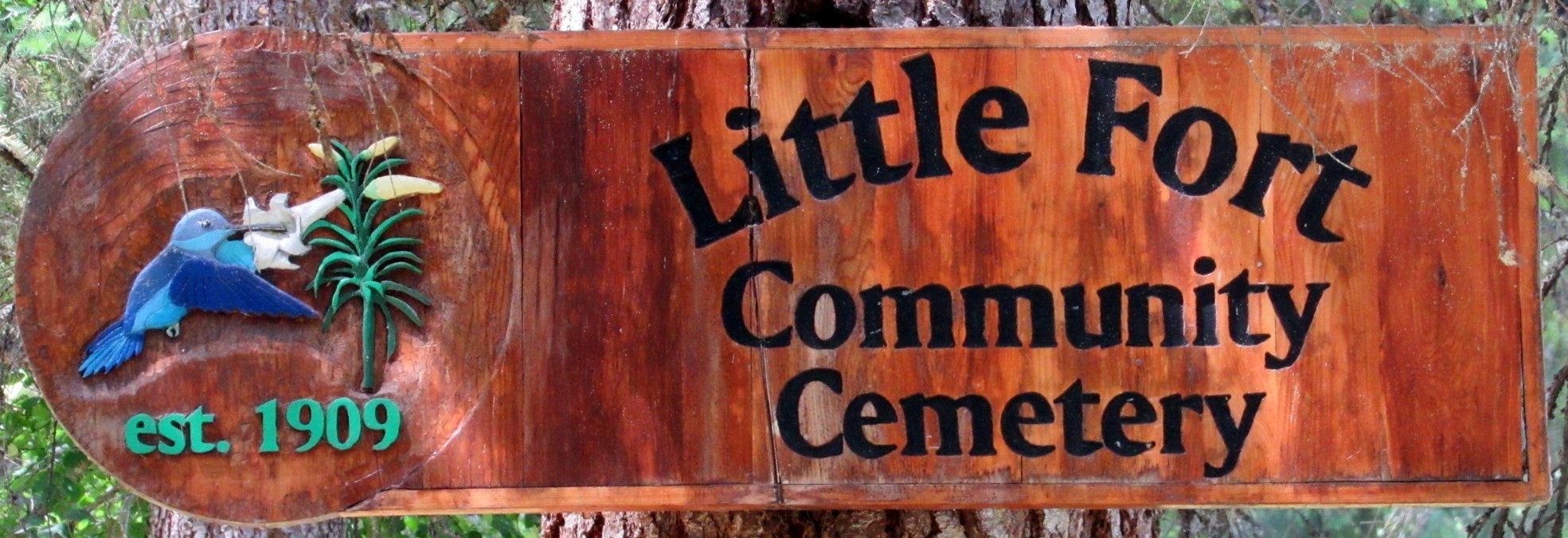
The Little Fort Community Cemetery is within the Thompson-Nicola Regional District and established 1909. There are 128 known interments, however the majority are unmarked. So it seems that the cemetery was unused until about the early 1920's. This could possibly began as a family cemetery with the passing of an infant.
The first interment in Little Fort Cemetery was Baby Brunkau birth unknown and passed away in 1909.
This is a small cemetery and is somewhat isolated though near the highway. Most passersby would mostly likely miss it, if they were not aware of its location. It is surrounded by dense forest though the cemetery itself is flat and is being maintained. There are not many marked graves and a few are older and newer interments are marked with black granite headstones.