79C627 - Lempriere, BC
Posted by:  T0SHEA
N 52° 27.842 W 119° 07.995
11U E 355078 N 5814791
This is the second crossing of the North Thompson River by the Yellowhead Highway as it heads southward.
Waymark Code: WM11835
Location: British Columbia, Canada
Date Posted: 09/03/2019
Views: 4
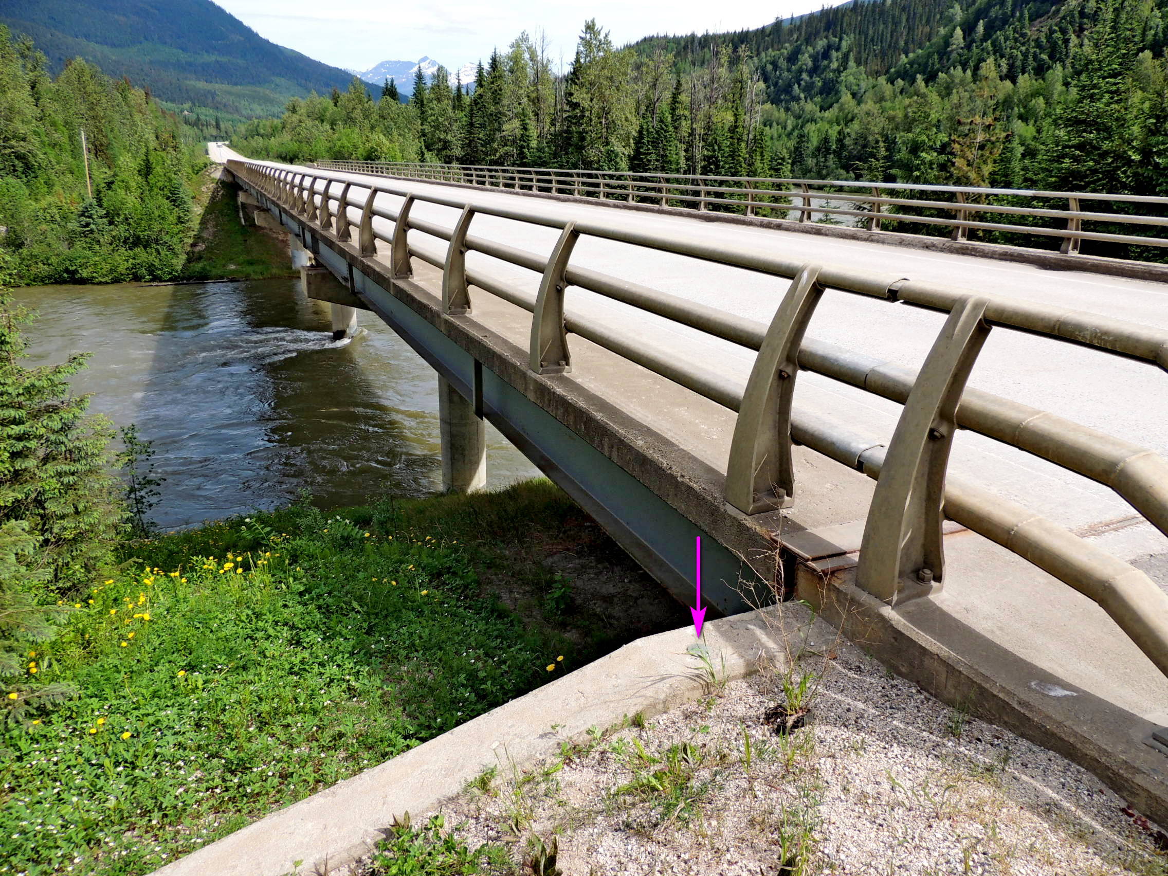
This crossing takes place just 1.5 kilometres south of the North Thompson-Albreda River confluence and the first crossing by the highway. 79C627 is monumented in the top of the west abutment of the North Thompson River Bridge, at its south end. Not quite as picturesque as the crossing to the north, an arch bridge, this is a more conventional steel girder bridge.
Name	Province 		NTS map sheet	Unique Number
79C627	British Columbia	083D06		79C627
Lempriere
Bridge over thompson river along highway no. 5, 47.5 km southeasterly of main intersection at valemount, 13.6 km south of clemina siding access road, 1.5 km north of siding access road, 0.2 km north of a creek crossing, tablet in top of west abutment at south end of bridge.
From NRCAN