79C648 - Blue River, BC
Posted by:  T0SHEA
N 52° 06.994 W 119° 18.128
11U E 342378 N 5776503
The Blue River flows past the northern edge of the town of Blue River, then flows into the North Thompson River just over 2 kilometres southeast of here.
Waymark Code: WM1182E
Location: British Columbia, Canada
Date Posted: 09/03/2019
Views: 1
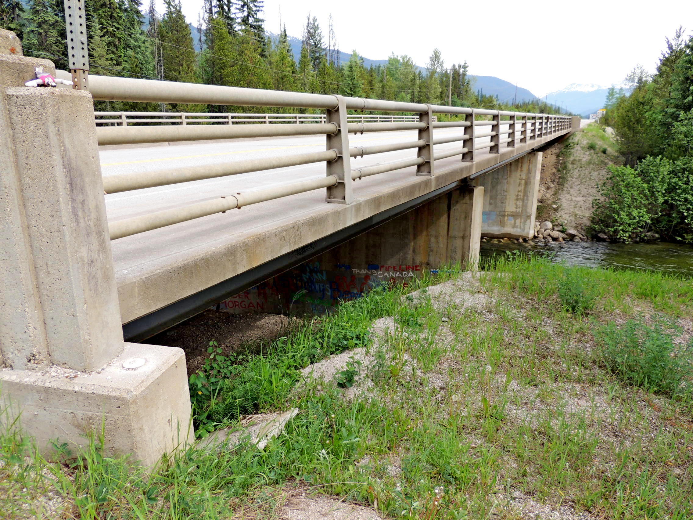
The Blue River Bridge carries the Yellowhead over the Blue River at the northern edge of the eponymous town. 79C648 was monumented in the top of the bridge's southeast abutment, on the east side of the highway. 79C648, mostly covered with salmon coloured paint, is immediately outside of the stepped concrete end post.
Name	Province 		NTS map sheet	Unique Number
79C648	British Columbia	083D03		79C648
Blue_river
Bridge over blue river on the north side of town, 1.0 km northeast of the main intersection at blue river, 41.1 km southwesterly of lempriere siding access road, 0.8 km southwest of entrance to the airstrip, tablet in top of southeast abutment at southwest end of the bridge.
From NRCAN