79C644 - Blue River, BC
Posted by:  T0SHEA
N 52° 11.012 W 119° 14.534
11U E 346709 N 5783822
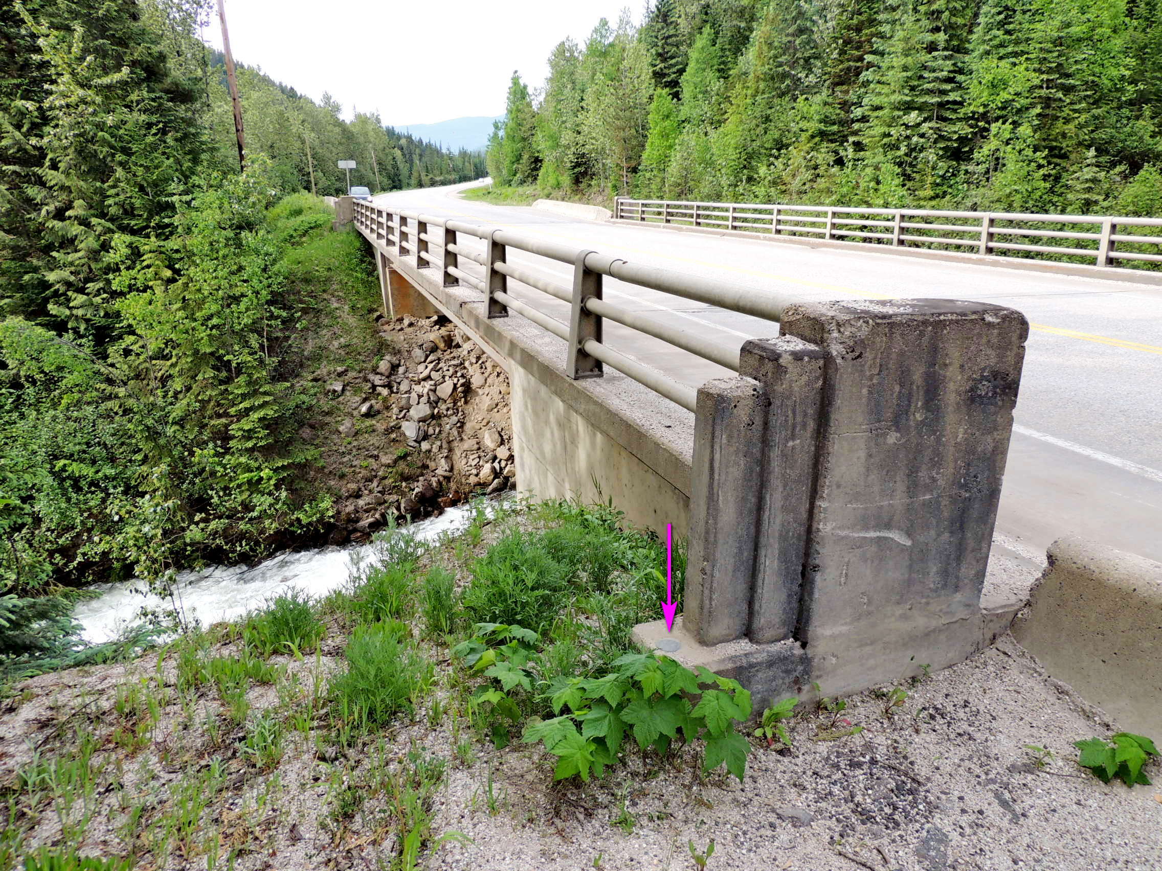
About 9 kilometres north on the Yellowhead Highway from the town of Blue River is Whitewater Creek.
Waymark Code: WM1181V
Location: British Columbia, Canada
Date Posted: 09/03/2019
Views: 1
The 40 metre Whitewater Creek Bridge carries the Yellowhead over Whitewater Creek just before it flows under the Canadian National tracks then empties into the North Thompson River. 79C644 is monumented on the bridge, in the top of the bridge abutment at the northeast corner of the bridge.
Name	Province 		NTS map sheet	Unique Number
79C644	British Columbia	083D03		79C644
Blue_river
Bridge over whitewater creek along highway no. 5, 8.9 km northeast of bridge over blue river in town, 41.1 km southwesterly of lempriere siding access road, tablet in top of southeast abutment at northeast end of bridge.
From NRCAN