Thunder River Bridge - 1967 - Blue River, BC
Posted by:  T0SHEA
N 52° 13.439 W 119° 13.025
11U E 348565 N 5788266
About 14 kilometres north on the Yellowhead Highway from the town of Blue River is Thunder River.
Waymark Code: WM1181T
Location: British Columbia, Canada
Date Posted: 09/03/2019
Views: 1
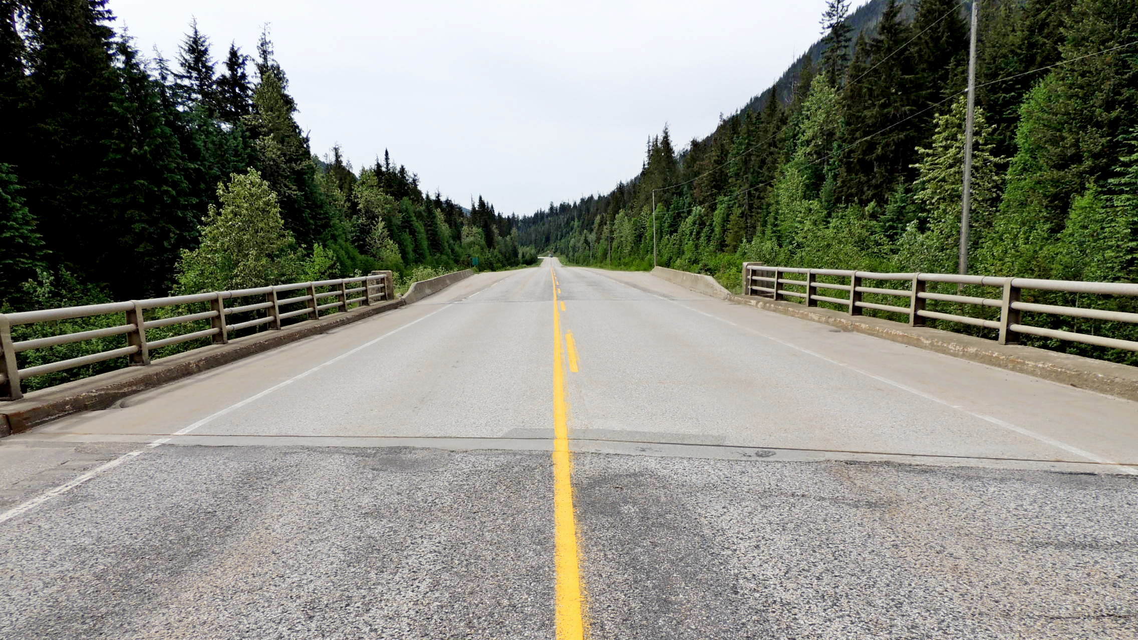
Over Thunder River is a steel girder bridge with the year of construction, 1967, inscribed in each of the two stepped concrete corner posts which face traffic. Just over 800 metres southwest of the bridge Thunder River ceases to exist, as it empties into the North Thompson River, the main river which drains the entire area of eastern British Columbia north of Kamloops.
The bridge is only about 22 metres, or 75 feet, in length. With steel guard rails spanning the length between corner posts, this is a very typical small BC Highway bridge. One may safely pull off the road at the end of the barriers off each end of the bridge.