79C619 - Clemina, BC
Posted by:  T0SHEA
N 52° 36.145 W 119° 06.630
11U E 357074 N 5830136
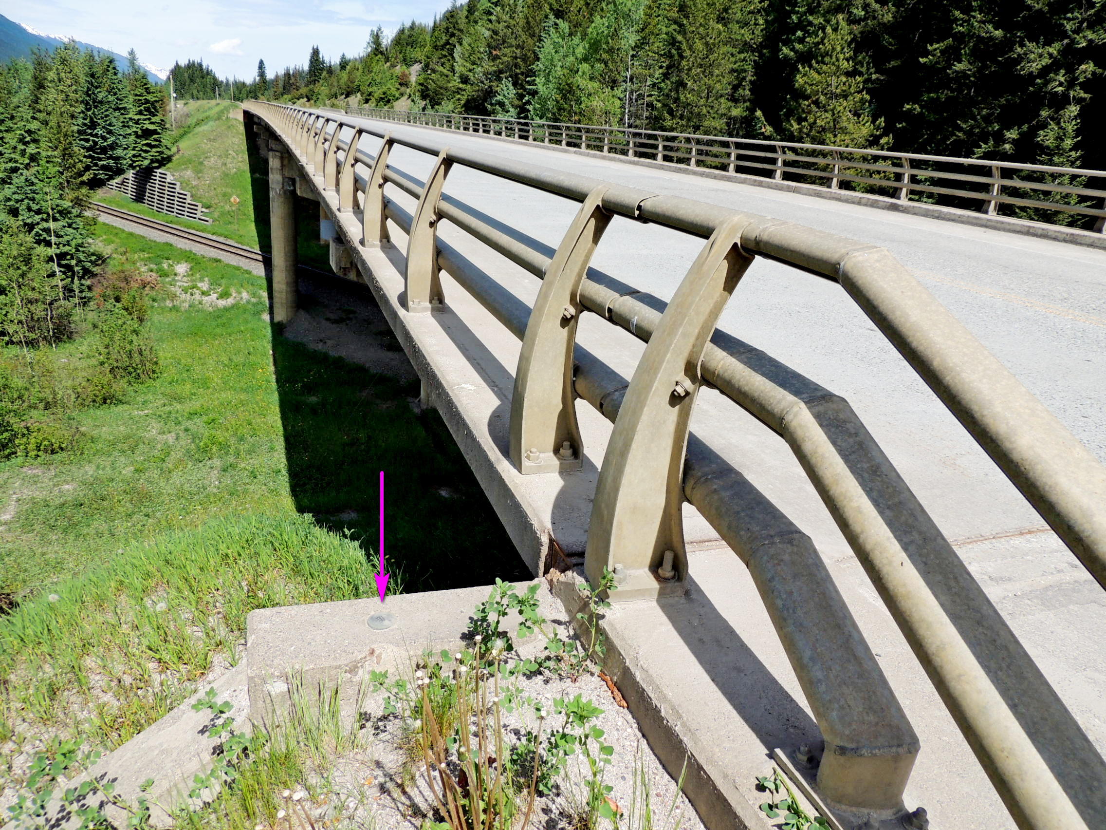
About 30 kilometres south of Valemount is another of the Canadian National Crossings of the Yellowhead.
Waymark Code: WM117GY
Location: British Columbia, Canada
Date Posted: 08/31/2019
Views: 2
Apparently at one time there was a community or a railroad siding nearby named Clemina. The CN tracks pass under the Yellowhead Highway here. 79C619 is monumented in the top of the southwest abutment of the overpass on the west side of the highway.
Name	Province NTS map sheet	Unique Number
79C619	Alberta  083D11		79C619
Clemina
Bridge over c.n.r. Along highway no. 5, 30.5 km southeasterly of main intersection at valemount, 5.7 km southeast of albreda siding access road, 3.3 km northwest of clemina siding access road, tablet in top of southwest abutment at southeast end of bridge.
From NRCAN