
Monterey Bay Coastal Trail
Posted by:  Touchstone
N 36° 37.497 W 121° 55.034
10S E 596813 N 4053813
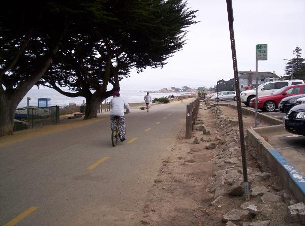
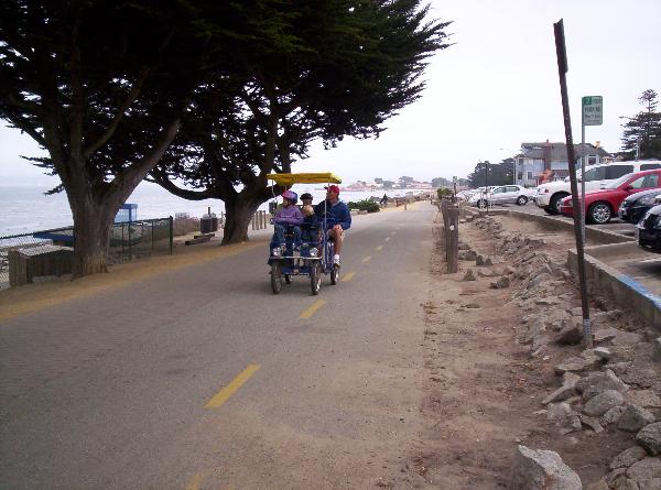
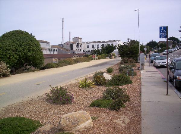
The Monterey Bay Coastal Trail runs along some of the most beautiful coastline in the Monterey Bay area. The trail stretches from Pacific Grove, North to Marina, and with a small amount of street riding, it's possible to link up with two new sections and make it as far as Castroville.
Waymark Code: WM1V3
Location: California, United States
Date Posted: 09/22/2005
Views: 142
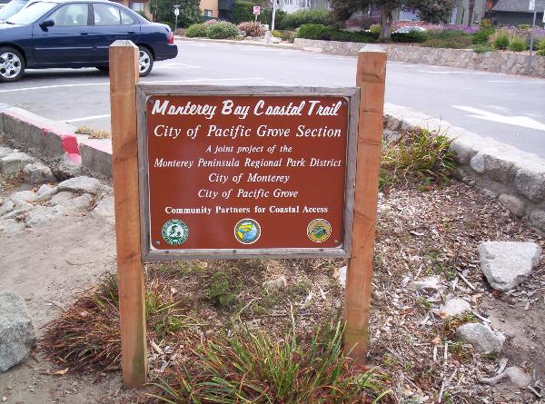
The Monterey Bay Coastal Trail is perhaps the most popular bike paths on the
Central Coast of California. It is a paved asphalt path that stretches for
some 23 miles between Pacific Grove and Marina. Definitely some beautiful
views to be had on several sections of the trail, but in addition, you will also
pass the Monterey Bay Aquarium, Historic Cannery Row, and Old Fisherman's Wharf.
The bike path follows the old Southern Pacific Railroad line that was used to
bring vacationers to the historic Del Monte Hotel (now the Naval Post Graduate
School) and Pebble Beach. The train stopped service to the peninsula in
the 1950's, and it wasn't until the 1970's that a concept of a recreational
path, extending from Point Lobos to the South all the way North to Elkhorn
Slough, was envisioned. A cooperative agreement between the cities of
Monterey, Pacific Grove, and Seaside was the beginning of a very successful
civic project. Bit by bit, the rails were removed and the asphalt put
down. Mind you, this was prior to the popular Rails To Trails projects.
For more information, follow the link below to the Monterey Peninsula
Regional Park page:
Monterey Bay Coastal Trail