Bomar Point Cemetery - Wilson, OK
Posted by:  hamquilter
N 34° 09.497 W 097° 27.168
14S E 642621 N 3780787
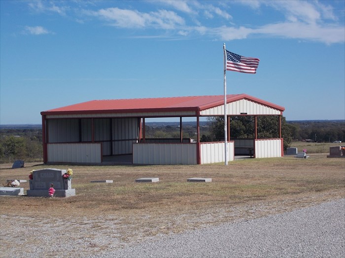
Bomar Point Cemetery is located about 1.5 miles west of the town of Wilson.
Waymark Code: WMXH79
Location: Oklahoma, United States
Date Posted: 01/13/2018
Views: 3
The coordinates shown above lead you to the turnoff from Claremore Road onto Cemetery Road. The cemetery entrance is approximately one-quarter mile south on Cemetery Road. This is a rectangular area with the older section at the south end. There are a few scattered trees in this older section, and a graveled perimeter road and two north-south bisecting roads. The cemetery is expanding to the north and this area is treeless. The cemetery is well maintained.
At the center of the cemetery is a large, open metal pavilion where services can be held. There are currently 1009 burials here.