We stopped by for tourist information and were greeted by a very friendly and helpful young lady who answered all our questions. We then proceeded upstairs to see the museum displays. It was a very pleasant surprise to see the animal displays, a relief map of the Columbia Valley and environs, a Ktunaxa Nation Timeline, and several displays about the impact of fires in the region.
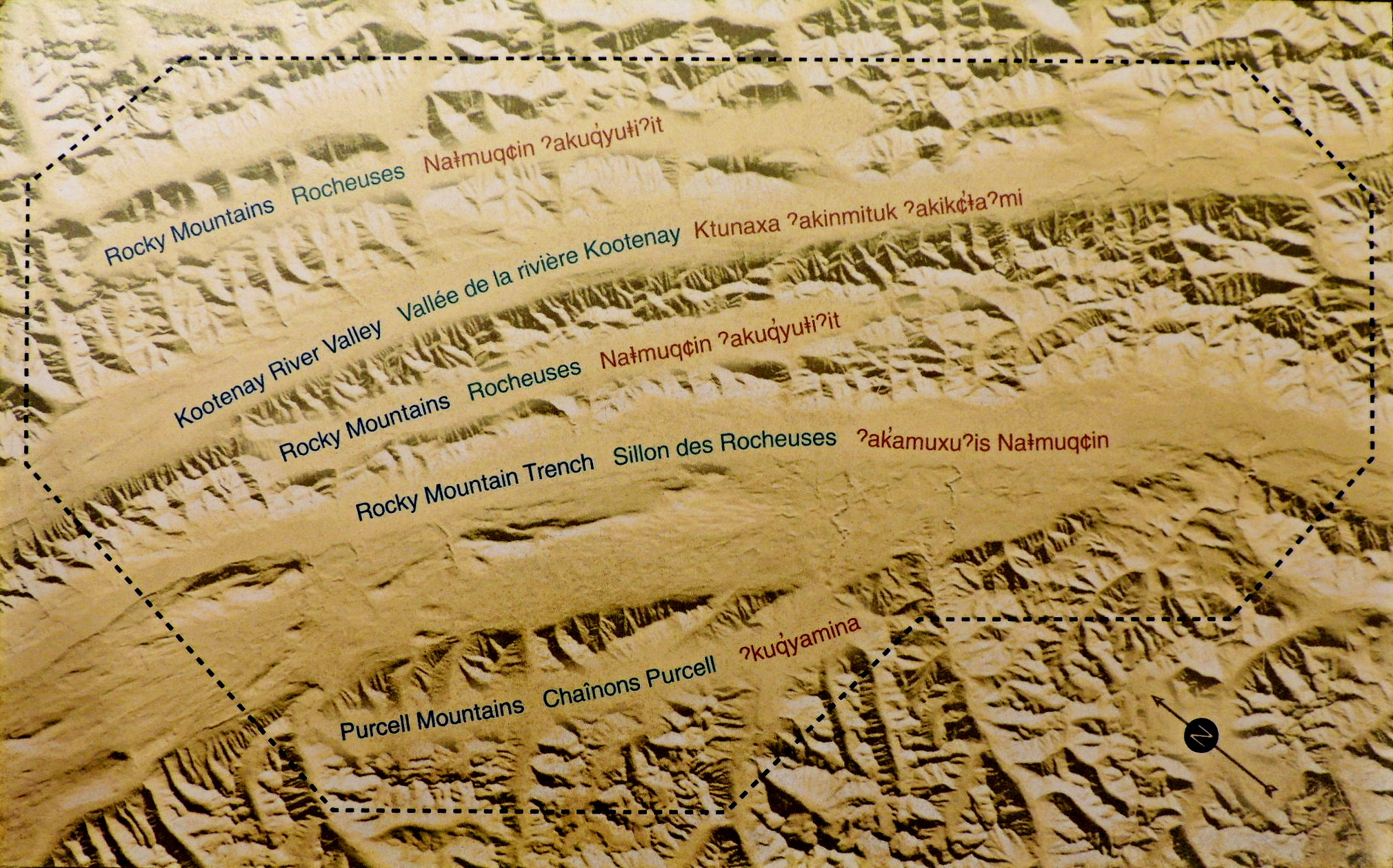
The large relief depicts the area around the western edge of the Rocky Mountains in southern British Columbia, from near Cranbrook in the south to the Golden area in the north. At about the middle of the map, just north of the town of Canal Flats, the Columbia and Kootenay Rivers rise, the Columbia flowing north and the Kootenay to the south. The two flow for a combined two thousand miles or so, only to meet 160 kilometres to the southwest, at Castlegar, British Columbia.
The map also takes in a section of the Rockies in Alberta and the Purcell Mountains, here the first mountain chain west of the Rockies. On the map are dozens of small markers pointing out highways, towns, rivers, named mountains and other items of interest.
This map depicts the area covered by the large map.