CANYON FERRY
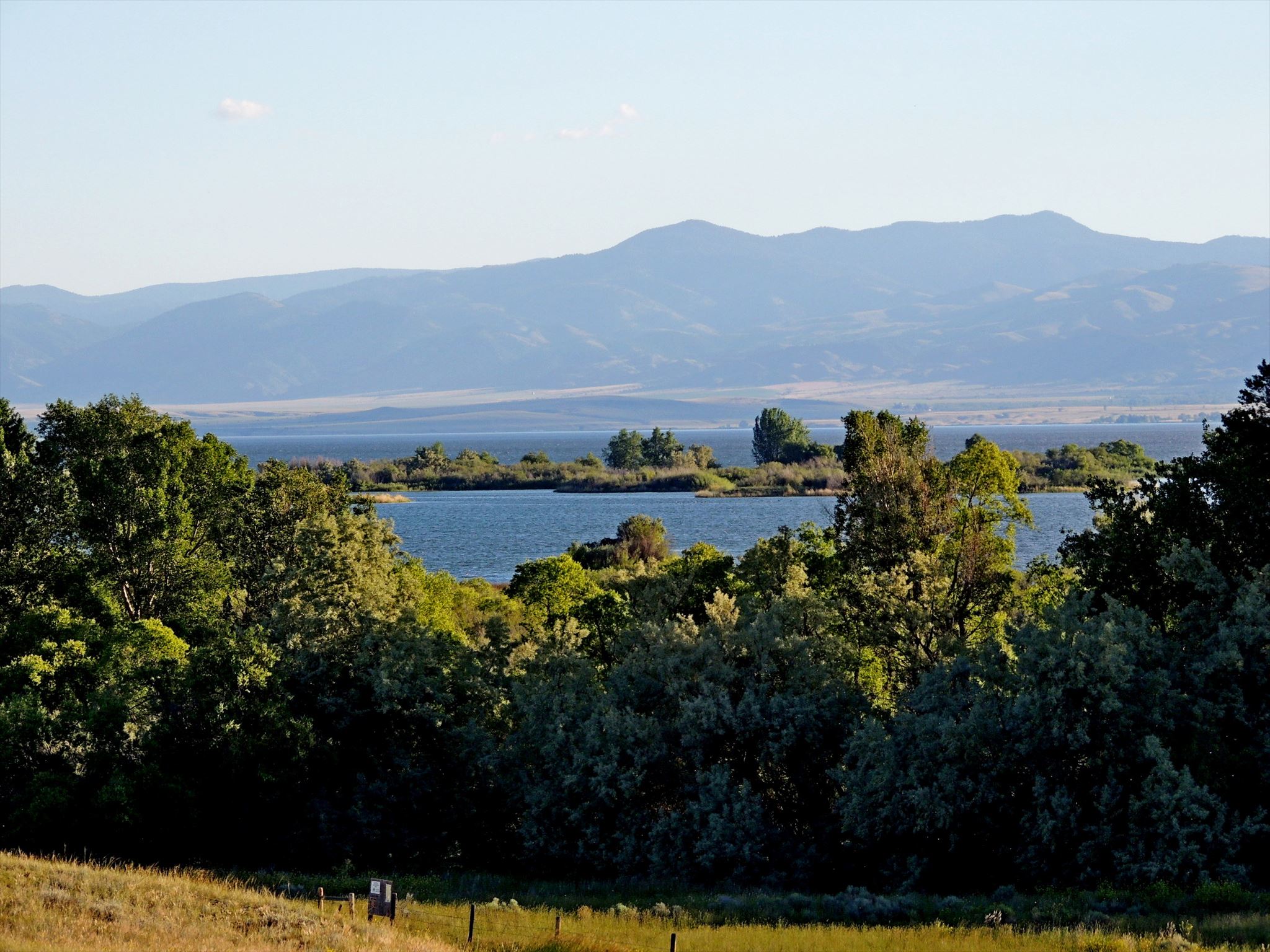
Shortly after the discovery of gold in Confederate Gulch, freighters established a road between Helena and Diamond City. The Missouri River was a barrier to travelers until John Oakes established a ferry in Black Rock Canyon in 1865. A small settlement, called Canyon Ferry, flourished at the ferry crossing. Its hotel, saloon, stage station, stable, and dry goods store served travelers and local residents. In 1898, Samuel Hauser's Helena Water and Electrical Power Company built a stone dam at a narrow point in the canyon near Canyon Ferry. A little over a half century later, in July 1949, the Bureau of Reclamation began construction of a massive concrete dam just downstream of the old structure. Since 1954, the dam has produced hydroelectric power and water for irrigation. It backs up a reservoir 25 miles in length with 76 miles of shoreline. Canyon Ferry Reservoir took two years to fill, flooding thousands of acres of farmland and inundating the communities of Canyon Ferry and Canton. Today, the reservoir provides water for irrigation and recreation for fishermen, boaters, and other sportsmen.
On September 16, 1947, a Montana Air National Guard A-26 aircraft carrying Lieutenant Colonel Willard S. Sperry and Sergeant Charles 1. Glover crashed in the Big Belts during an early season snowstorm. Both men served in the Army Air Corps during World War II and Colonel Sperry was the first commander of the Montana Air National Guard.
From the Montana Historical Highway Marker
 The History of the Montana
Historical Highway Markers
It was a man named Bob Fletcher whose idea it was, in 1935, to produce roadside signs which imparted knowledge of Montana's history, each sign containing a bit of the story of some local event or site.
The rustic-looking sign boards were mounted on lodgepole pine posts and hung from decorative routed crossbeams. The posts were set in fieldstone bases to make them eye-catching, rustic—and crash resistant. The sign texts were hand-lettered on five-by-eight-foot plywood boards set in log frames. The first marker, "Gates of the Mountains," was installed on U.S. Highway 91, about sixteen miles north of Helena, in early July 1935. It was followed by twenty-nine more signs by the end of the year.
Bob Fletcher's success in promoting and developing the tourist industry in the early 1930s enabled him to pitch a project that he'd been considering since the 1920s: roadside highway markers that described and celebrated Montana's colorful history. This idea allegedly originated after he became bored reading the historical markers installed by the Daughters of the American Revolution along South Dakota's roads in the mid 1920s. He felt he could do better in Montana by making the marker texts big enough to read from a car "and sometimes humorous." Fletcher later recalled that the texts "should not be a lot of stilted copy with dates and all. I wanted them to be like a native standing there and telling you about the place."
By the early 1950s, severe weathering of the signs compelled the department to begin routing the texts onto redwood boards. By 1952, the highway department had installed over one hundred markers along Montana's highways. Although Montana's historical highway marker program was not the first of its kind in the United States, it proved among the most influential. According to one newspaper article, twelve other state highway departments requested copies of the marker plans.
By the early 1980s, the interstates had diverted much of the traffic off the two-lane highways and onto the four-lane superhighways. Although some signs had been reinstalled at interstate rest areas, most had simply been forgotten, vandalized, stored in maintenance shops, or allowed to deteriorate next to bypassed highways. In 1985, the Forty-Ninth State Legislature allocated $200,000 to refurbish the 132 old markers (the original markers cost $400 each—including the support posts and field-stone bases!) and write twenty-four new ones.
Since 1985, over one hundred new historical markers have been added, covering a wide variety of subjects and styles. The markers have been printed on sturdy, weather-resistant plastic since 1999.
From the book Montana's Historical Highway Markers by the Montana Historical Society