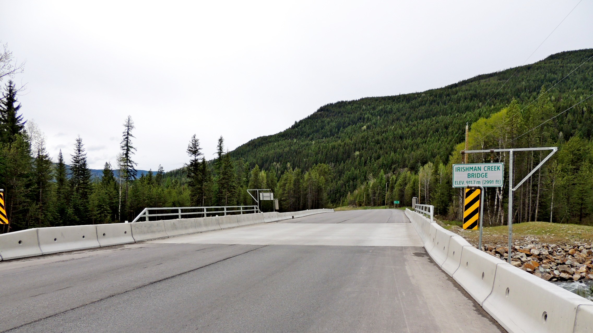
Irishman Creek Bridge - Yahk, BC - 911.7 Meters
Posted by:  T0SHEA
N 49° 11.187 W 116° 00.699
11U E 572019 N 5448653
About midway between Yahk, about 14 kilometres south, and Moyie, about 18 kilometres north, is Irishman Creek and its bridge.
Waymark Code: WMVQM4
Location: British Columbia, Canada
Date Posted: 05/18/2017
Views: 0
Irishman Creek is a small creek boiling down out of the mountains to the north and emptying into the Moyie River less than 800 feet after it passes under Highway 3/95 and this bridge. Of the seemingly dozens of bridges along the road between Creston and Cranbrook, this seems to be the only one with an elevation indicated on the sign along with the name of the bridge. The elevation here has been determined to be 911.7 Metres, or 2991 feet.