PIER 2 - Fort Steele, BC
Posted by:  T0SHEA
N 49° 36.104 W 115° 39.851
11U E 596520 N 5495208
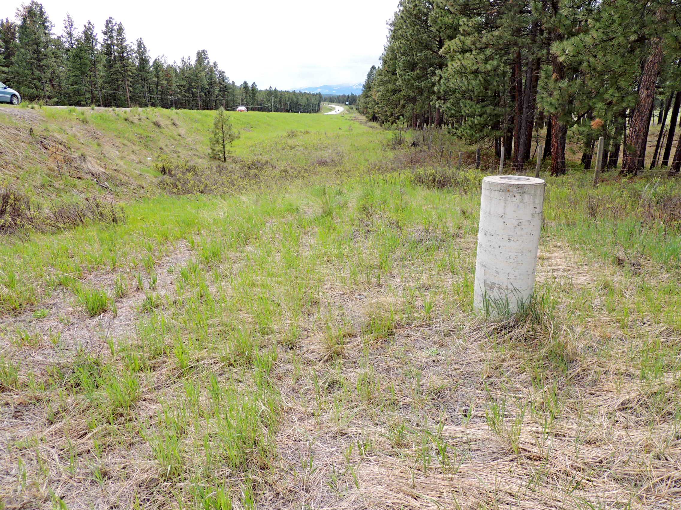
Along the north side of Highway 95 about 3 kilometres southwest of Fort Steele is a line of concrete pillars, Pier 1 to Pier 5, from east to west. The line of pillars is exactly 1,000 metres long.
Waymark Code: WMVQKQ
Location: British Columbia, Canada
Date Posted: 05/18/2017
Views: 1
This is Pier 2, the second from the east of the five. All are very easy to see from the highway and all are within sight of each other.
Name		Province		NTS map sheet	Unique Number
PIER 2		British Columbia	082G12		89HP2C
Fort Steele
Concrete pillar with force centering plate along highway no. 93-95, 3.4 km southwest of of junction with road to fort steele heritage park, 3.9 km northeast of junction with highway no. 3-93, 26.4 m northwest of centre line of highway, elevation taken on top at centre of main circular plate anchored on top of pillar.
From NRCAN