|
 Woodenhead Park - Revelstoke, BC Posted by:  T0SHEA T0SHEA
N 51° 00.408 W 118° 13.073
11U E 414555 N 5651287
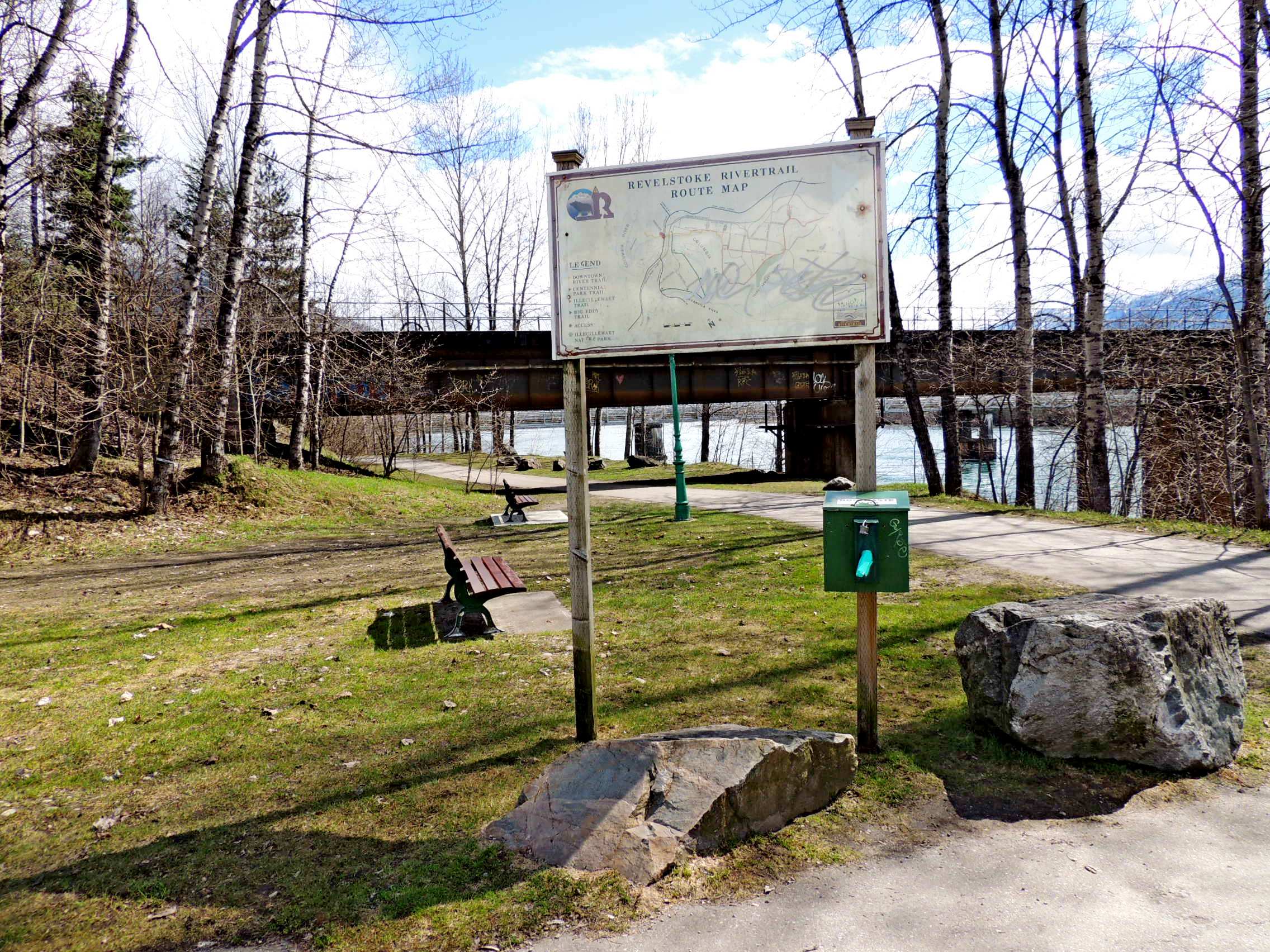
Revelstoke River Trail is one of four connecting trails which run along the Columbia River and through central Revelstoke.
Waymark Code: WMVN4X
Location: British Columbia, Canada
Date Posted: 05/07/2017
Views: 0
Woodenhead Park is the main access point for Revelstoke River Trail, which runs east and west through the park, ending a kilometre to the northwest at the golf course and joining Centennial Park Trail about a kilometre to the east. Centennial Park Trail continues for another kilometre before becoming the Illecillewaet Trail, which follows the Illecillewaet River for another 2 kilometres or so. A fourth trail, the Big Eddy Trail, takes the Big Eddy Bridge across the Columbia a short distance east on this trail and continues for another three kilometres on the south side of the river
There are dozens of mountain trails in the Revelstoke vicinity, from easy strolls to steep and rugged trails for the advanced hiker. These in-town trails, however, are all pretty flat, easy walks which are great for bird watching, family hikes and just general fitness and sight seeing walks. With many access points, one may dedicate as much or as little time as they choose to their riverside hike.
Trailhead/trail website: [Web Link]

Trail allowances or restrictions:
Hiking, Biking, Dogs on leash allowed
Trail type: Paved, gravel, dirt
Parking: Not Listed
|
Visit Instructions:
To claim a log for this waymark, some proof of a visit is required. This proof could be a simple photo of their GPS at the trailhead, a photo of the person at the trailhead, or a photo of a signature item that a person uses for photographs, at the trailhead.
In order to help other waymarkers who are looking for a nice hike/walk outdoors, you are encouraged to provide good feedback about the quality of the hike/trail.
Recent Visits/Logs:
| There are no logs for this waymark yet. |
|
|
|
|