68-C-073 - Revelstoke, BC
Posted by:  T0SHEA
N 51° 00.308 W 118° 13.319
11U E 414265 N 5651106
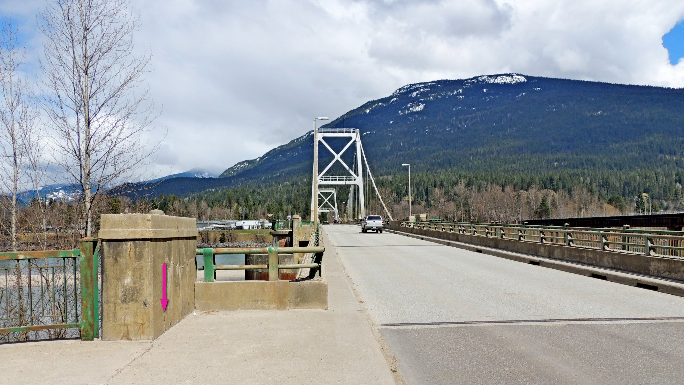
This is one of two benchmarks on the big Columbia River suspension bridge at Revelstoke. This one is at the south end of the bridge, the other at the north end.
Waymark Code: WMVHVE
Location: British Columbia, Canada
Date Posted: 04/22/2017
Views: 1
68C073 is on the southeast face of the end post on the northwest side of the Trans Canada Highway, at the south end of the bridge. Just above the sidewalk, this benchmark is missed by most pedestrians as the sidewalk across the bridge is on the other side of the highway.
Name		Province		NTS map sheet	Unique Number
68-C-073	British Columbia	082M01		68C073
Revelstoke
Trans Canada highway bridge over Columbia river, tablet in southeast face of westerly concrete end post at southwest end of bridge, 6.7 m northwest of centre line of highway, 50 cm from [southwest] face of end post, 38 cm above deck level, 19 cm above concrete curb.
From NRCAN