Rainbow Summit Traffic Webcam - Prince Rupert, BC
Posted by: Groundspeak Premium Member T0SHEA
N 54° 12.441 W 129° 58.773
9U E 436111 N 6007034
This camera is on Highway 16 at what is known as Rainbow Summit, about 31 kilometres southeast of Prince Rupert.
Waymark Code: WMTH5A
Location: British Columbia, Canada
Date Posted: 11/24/2016
Published By:Groundspeak Charter Member Bryan
Views: 1

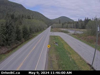
This relatively new BC Highways Webcam is mounted on a light standard at about the middle of a pullout at the summit, looking northwest past the northwest end of the pullout.

Visiting
Given that it's possible to "Replay The Day" on the web cam's web page, one need only stand at the coordinates for at least two minutes to ensure that they're captured on a minimum of one frame, then find and save the appropriate image later that day. Alternatively, if one has an internet connection in their hand tuned to the URL below, they only need wait until they appear on their screen, then save that frame.

The image below is essentially real time and will update every 2 minutes, but only if you update the page manually. BC Highway webcams are owned and operated by the B.C. Ministry of Transportation and Infrastructure. They are accessible online at DriveBC.


Photo goes Here

Public or Private?: Public

Web Site URL: [Web Link]

Visit Instructions:
Updated October 3, 2011:

Your log needs to include a picture taken from the web camera with you in the field of vision. You may need to recruit some help from someone else on a computer while you are at the web camera.
Search for...
Geocaching.com Google Map
Google Maps
MapQuest
Bing Maps
Nearest Waymarks
Nearest Web Cameras
Nearest Geocaches
Create a scavenger hunt using this waymark as the center point
Recent Visits/Logs:
There are no logs for this waymark yet.