The Harrop Ferry is the only means of access to the village of Harrop for those of us without water transport, as it is across The Kootenay River/Lake from Highway 3 and no other roads access the south side of the river.
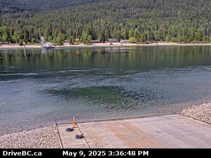
The camera is one of a pair at the ferry landing on the south side of the river. It looks down at the near ferry landing to the north.
Visiting
Given that it's possible to "Replay The Day" on the web cam's web page, one need only stand at the coordinates for at least two minutes to ensure that they're captured on a minimum of one frame, then find and save the appropriate image later that day. Alternatively, if one has an internet connection in their hand tuned to the URL below, they only need wait until they appear on their screen, then save that frame.
The image below is essentially real time and will update every 2 minutes, but only if you update the page manually. BC Highway webcams are owned and operated by the B.C. Ministry of Transportation and Infrastructure. They are accessible online at
DriveBC.