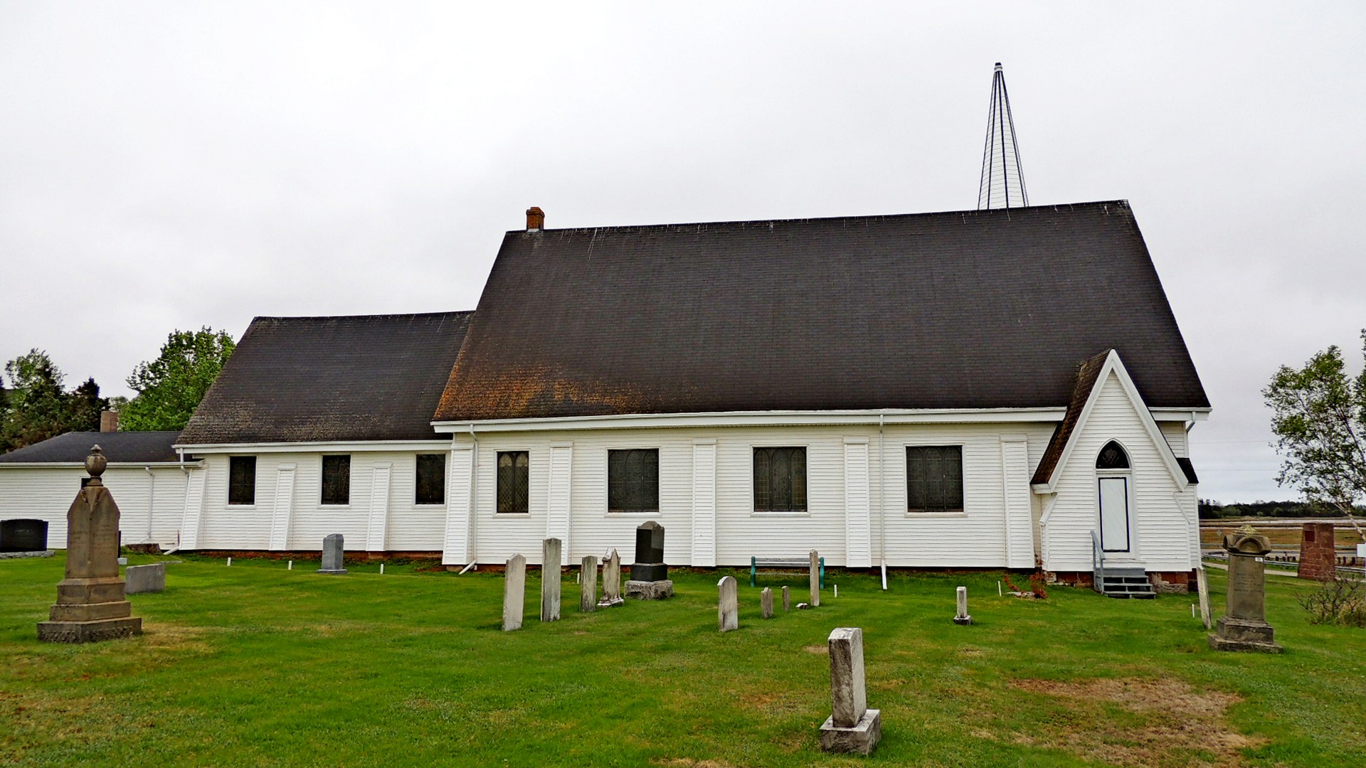
South Shore United Church Cemetery - Tryon, PEI
Posted by:  T0SHEA
N 46° 14.320 W 063° 32.612
20T E 458094 N 5120709
This cemetery was one of the first to be created on Prince Edward Island, first being used for burials in the 1750s or 1760s by the Island's first settlers, the Acadians.
Waymark Code: WMPMF3
Location: Prince Edward Island, Canada
Date Posted: 09/20/2015
Views: 2
While the original Methodist Church property was deeded to the church from John Lord on October 16, 1819 and registered on April 2, 1820, the cemetery predates it by quite a span. Now known as the Tryon Peoples' Cemetery, local folklore tells that it was originally used as an Acadian burial ground as early as the mid 1700s. The land occupied by the cemetery was taken over by the British in 1763.
The first known written records of the cemetery are from 1919, by which time the cemetery had fall into a state of neglect, precipitating an effort by the residents to undertake renovations. It has since been enlarged with the purchase of more land to the east of the original cemetery in 1961 and again in 1989. As of 2015 there are several hundred interments in the cemetery.