Cusick Dam - Cusick, WA
Posted by:  T0SHEA
N 48° 20.531 W 117° 18.092
11U E 477656 N 5354377
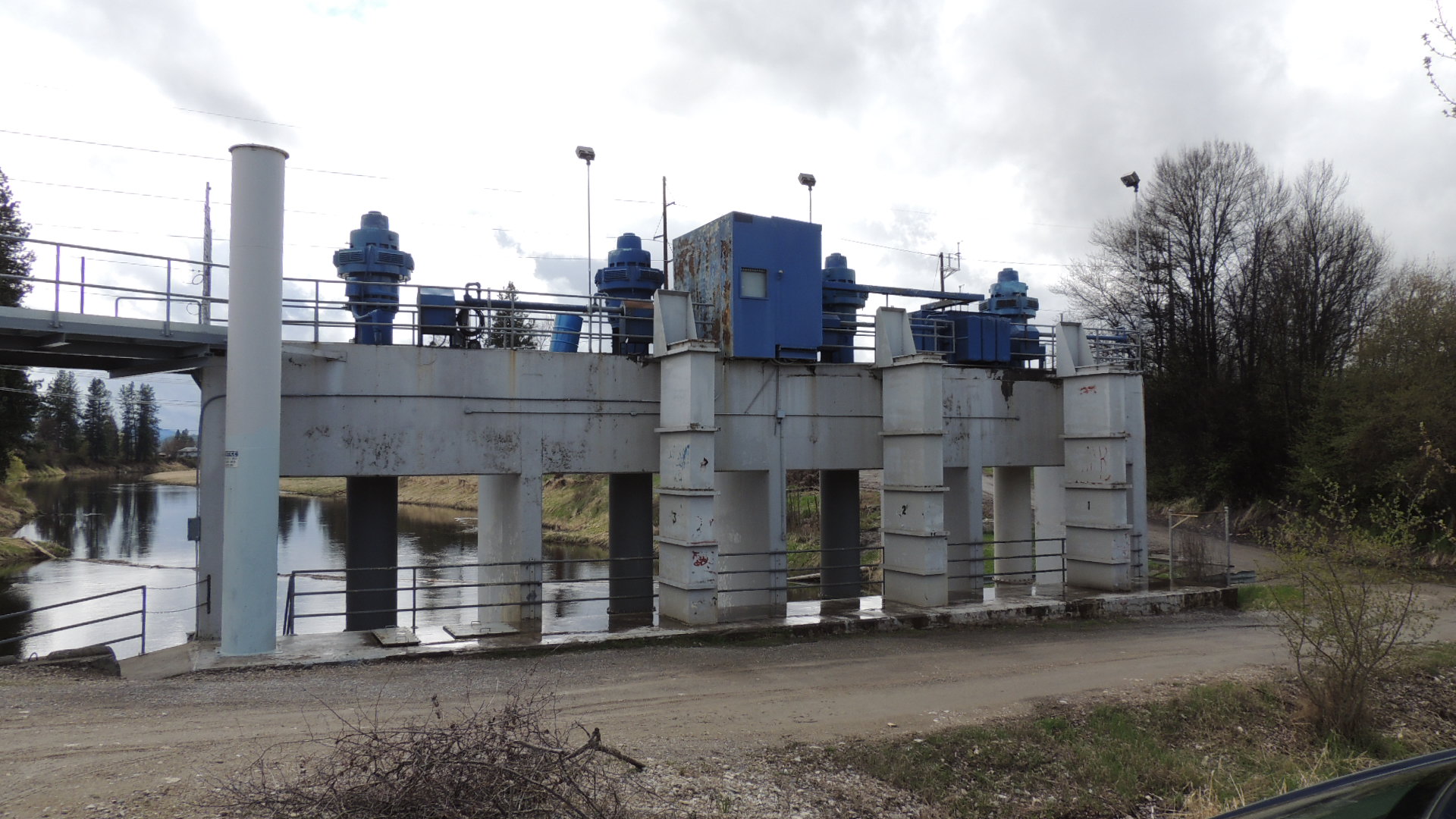
This little dam is at the equally litle town of Cusick, Washington in Pend Oreille County.
Waymark Code: WMNN3A
Location: Washington, United States
Date Posted: 04/06/2015
Views: 3
We're not entirely sure of the purpose of this dam, but it appears to control the flow of water from the Pend Oreille River into Calispell Creek, which flows into Calispell Lake, for the purpose of irrigation. This all seems backward, with a creek flowing out of a river, but we suspect some human engineering was involved.
The dam is perhaps 10 feet in height at the most and is located 20 to 300 metres west of the Pend Oreille River and just north of the town.