|
 Dam at the Ninepipe National Wildlife Refuge - Charlo, Montana Posted by:  T0SHEA T0SHEA
N 47° 27.321 W 114° 08.229
11T E 715786 N 5259740
To locate the Ninepipe National Wildlife Refuge and this dam: from Hwy. 93 south of Ronan, turn west on Hwy. 212. Continue 3 km. to the entrance. Turn south on the dirt road, go through the gate and continue to the parking area, 900 meters.
Waymark Code: WMN398
Location: Montana, United States
Date Posted: 12/18/2014
Views: 3
Originally built in 1910 for an irrigation reservoir, this dam now is an integral part of the Ninepipe National Wildlife Refuge by creating a large reservoir and the attendant wetlands which surround it. It's an earthen dam approximately 500 metres long and 10 or 12 metres in height. It impounds a reservoir about 1600 acres in size.
On the control shed atop the centre of the dam is a small solar panel with what may be a storage battery above it. There are no antennas on the shed, so this isn't for telemetry. It could be for recording weather data or pool level data. The panel is pretty small, so it couldn't be used for much more than that. I guess its purpose will remain a mystery for now.
The Ninepipe National Wildlife Refuge is home to an abundant array of waterfowl: mallards, northern shovelers, gadwalls, redheads and ruddy ducks. Non-breeding white pelicans spend the summer feeding and loafing. There is an active rookery of great–blue herons and another of double–crested cormorants.
Ninepipe National Wildlife Refuge is superimposed on a reservoir that contains about 1,672 acres of water at full pool level. The Refuge consists of 390 acres of upland habitat in a narrow band around the reservoir.
Grasslands surrounding the refuge include 3,420 acres of Montana State Wildlife Management Areas, approximately 3,000 acres of Confederated Salish and Kootenai Tribal lands, 3,160 acres of Federal Waterfowl Production Areas and 6,400 acres of Fish and Wildlife Service conservation easements which preserve wildlife habitat by preventing housing development and wetland drainage.
From the US Fish and Wildlife Service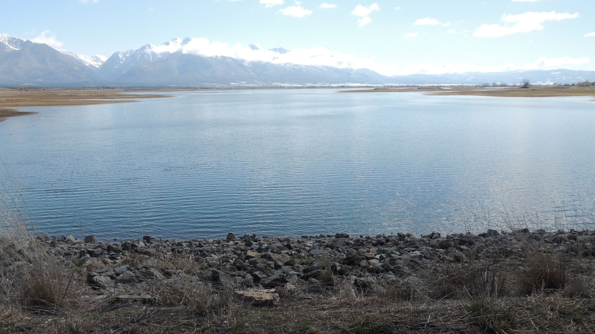
Type of system: Photovoltaic (electrical)

Related webpage: [Web Link]
|
Visit Instructions:
Tell of your visit and any comments you may have.
|