
Noxon Reservoir - Noxon, MT
Posted by:  T0SHEA
N 47° 57.838 W 115° 43.798
11T E 594803 N 5313075
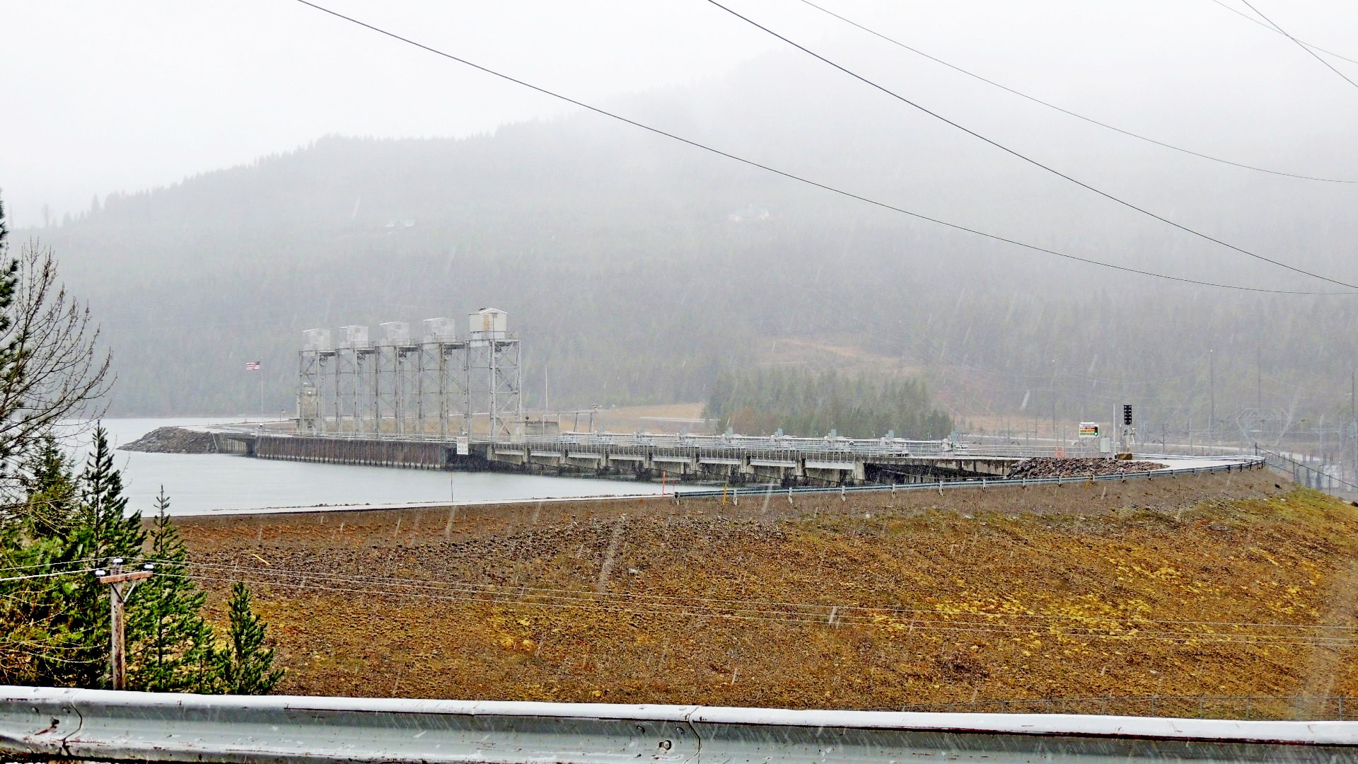
The Noxon Reservoir is a 8,650 acre reservoir in northwestern Montana with a shoreline of over 100 miles.
Waymark Code: WMMY94
Location: Montana, United States
Date Posted: 11/22/2014
Views: 1
Created by the construction of the 466 MW Noxon Dam hydroelectric project from 1955 to 1959, this reservoir provides a great bass and northern pike fishery. Also used for pleasure boating, water skiing and swimming, this can be a popular lake in the summer. There are no large towns nearby, the nearest town of any size being Thompson Falls, 33 miles upriver. There are several boat launch ramps along the reservoir. Highway 200 follows the reservoir for its entire length along the Clark Fork River Valley.
Coordinates given are at the downriver end of the reservoir at Noxon Dam.
Visit Instructions:As a suggestion for your visit log, please make every effort to supply a brief-to-detailed note about your experience at the Waymark. If possible also include an image that was taken when you visited the Waymark. Images can be of yourself, a personal Waymarking signature item or just one of general interest that would be of value to others. Sharing your experience helps promote Waymarking and provides a dynamic history of your adventures.