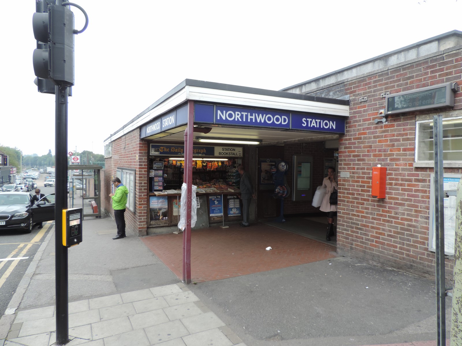
 Northwood is a station on the Watford branch of the Metropolitan line, in Travelcard Zone 6. The line serves as the sole continuous link between the town of Northwood and London, key for a region known as Metro-Land. Northwood used to be a terminus for many Metropolitan trains, similar to the status of Harrow-on-the-Hill and Neasden. Some trains from London do terminate at Northwood, due to the placement of two sidings, but this usually happens when there are engineering works or delays north of Northwood. The old goods sidings still exist at Northwood but the old goods depot has been demolished and the station car park has replaced it.
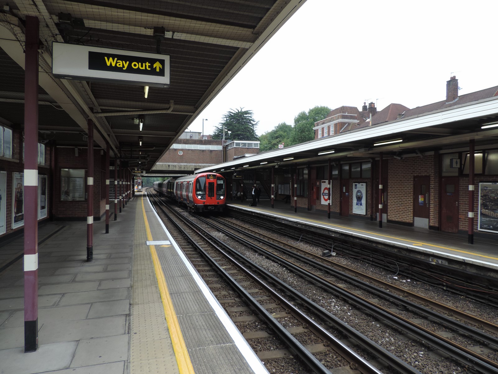
The station is located on a four-track section of the Metropolitan line. The two platforms are on the slow lines. There are no platforms on the fast lines.
 The station was opened on 1 September 1887 on the Metropolitan Railway's extension from the previous terminus at Pinner, en route to Rickmansworth.
The station was rebuilt in the late 1950s and early 1960s to include platforms on the newly quadrupled Watford slow lines rather than the Amersham fast lines.
The station is located just off the main road through the town, Green Lane.
In the original Crossrail plans, Crossrail would have connected to Aylesbury via the fast lines from Harrow to Rickmansworth, which would have been used exclusively by Crossrail. In the plans, Northwood would have been connected to Aylesbury by two extra platforms (meaning that the fast platforms at Moor Park would have been demolished) on the fast lines. However, plans for Crossrail to serve Aylesbury were dropped during the late 1990s.
London Buses routes 282, 331 and H11 and Non TFL route LSP route 8 serve the station.