 Pinner tube station is a London Underground station on the Metropolitan line in zone 5. The station was opened in 1885 as part of the Victorian expansion of dormitory suburbs, and was one of the stations included in the Metro-land project in the early 20th century. The site is served by several bus routes including links to the Hatch End railway station which was known as Pinner & Hatch End prior to 1920. Step free facilities were opened in 2008. Its adjacent stations are Northwood Hills (northbound) and North Harrow (southbound).
Michael Rosen has a poem about waiting for his mum at Pinner Station in a poetry collection called Quick Let's Get Out of Here (Puffin).
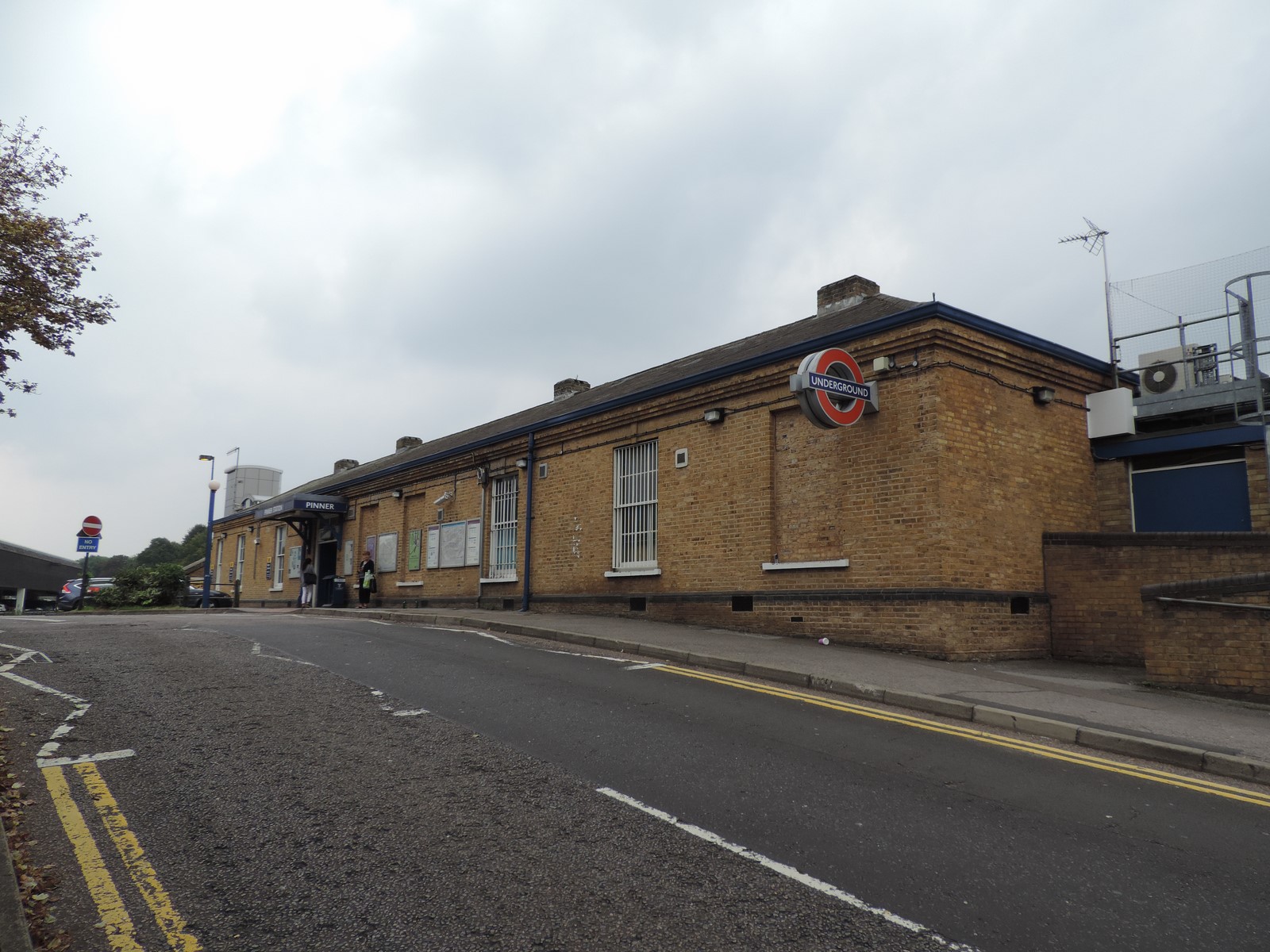 The station was opened on 25 May 1885, following a prior expansion to nearby Harrow-on-the-Hill station in 1880. It remained the terminus of the Metropolitan Railway until 1 September 1887 when the line was further extended to Rickmansworth. In 1915, the Metro-land project was conceived in order to move people out of central London into rural Middlesex. Houses near the stations were built in haste and sold for as little as £400 each. However, in Pinner houses built during this expansion were required to be worth at least £1,000 – compared to Harrow-on-the-Hill where prices were subject to a £750 minimum.
In 2009, a Pyrenean Mountain Dog named Rufus became a minor celebrity for his daily commute from Pinner to Baker Street due to his size. Rufus accompanies his owner, Michael Stavrides, as he travels to his art gallery in Marylebone. The dog received publicity following a debate began in the Daily Mail after he was described as "pony-like" and a person objected to his presence on the rush hour train.
 London bus routes 183, H11, H12 and H13 serve the station's location and provide services that terminate at Golders Green, Harrow, Mount Vernon Hospital, Northwood Hills, Ruislip, South Harrow and Stanmore. The H12 route also connects Pinner tube station to Hatch End railway station, which was named Pinner & Hatch End between 1911 and 1920 before being renamed Hatch End (for Pinner) and then, in 1956, Hatch End. Northwood Hills tube station is 2.08 kilometres (1.29 mi) to the north west and North Harrow is 1.48 kilometres (0.92 mi) to the south east on the Metropolitan line.
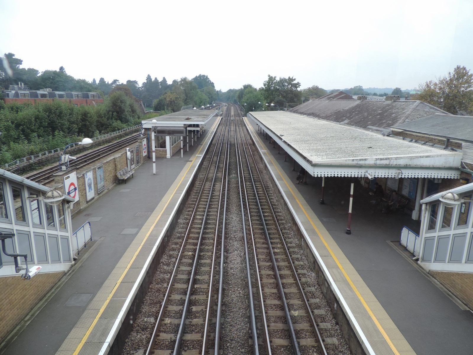
Access to the southbound platform is step-free from the ticket hall. In order to reach the northbound platform, it is necessary to use a footbridge, which was constructed in 2002. Before this, a subway between the two platforms existed, but this was closed for safety reasons. Accessibility lifts opened on 18 July 2008 making the station totally step-free. Originally scheduled for installation in 2005, the delay had been caused by a lack of funding and was originally re-scheduled for 2009/10 but following complaints by the Harrow Public Transport Users Association the construction was brought forward to 2007 only to be delayed by the collapse of London Underground contractors Metronet.