 Kensington (Olympia) station in Kensington, West London is managed and served by London Overground and also served by Southern and London Underground. It is in Travelcard Zone 2. On the Underground it is the terminus of a short District line branch, built as part of the Middle Circle, from Earl's Court; on the main-line railway it is on the West London Line from Clapham Junction to Willesden Junction, by which many trains bypass Central London.
A station was opened by the West London Railway as its southern terminus on 27 May 1844 as "Kensington", just south of Hammersmith Road; it closed at the end of November 1844 due to the losses made. A scant and erratic goods service continued, the line re-opened to passengers with a new station called "Addison Road" on 2 June 1862, to the north of Hammersmith Road. Great Western Railway trains started serving the station in 1863, with London & North Western Railway trains arriving in 1872. A link to the Hammersmith & City Railway enabled the "Middle Circle" service to operate via Paddington to the north and South Kensington to the south. From 1869, the London & South Western Railway operated trains from Richmond to London Waterloo via Addison Road, until their branch via Shepherd's Bush closed in 1916. By 1907 the Middle Circle had been replaced by four Hammersmith & City line trains an hour. The station appears on the first 'London Underground' map in 1908 with Metropolitan and District Railway services.
 In 1940, Addison Road and the link to the Metropolitan line at Latimer Road closed along with the other West London Line stations, In 1946 it was renamed "Kensington (Olympia)" and became the northern terminus of a peak-hour shuttle service to Clapham Junction, which was mainly for workers at the Post Office Savings Bank (later National Savings Bank) in nearby Blythe Road. There was also a District line shuttle to Earl's Court. The current District line bay platform opened in 1958, but the 1872 connection between the District and the main line south of the station was not finally lifted until 1992.
For many years the passenger service was only a few peak-hour main-line trains to and from Clapham Junction, with Underground trains only during exhibition times. The West London Line has always been a main freight route from north of London to the south-east of England.
Between 1979 and 2008 the Clapham Junction service was supplemented by a Virgin CrossCountry and later CrossCountry service from Brighton to Birmingham extending at various times to Derby, Edinburgh Waverley, Glasgow Central, Liverpool Lime Street and Manchester Piccadilly. Cross Country services also called at Kensington Olympia on services from the north to Eastbourne, Folkestone Central and Ramsgate at various times.
 There were two bay platforms on the south-eastern side mainly used by services from Clapham Junction. In the early 1990s these were filled in and the southbound platform loop closed, with a shorter platform on the southbound main line built over the loop - longer southbound trains now cross to the northbound loop to stop. The land behind the southbound platform was sold for redevelopment.
There was an Express Dairies creamery and milk bottling plant close to the station served by milk trains from the Great Western Railway from Old Oak Common to a siding adjacent to the station.
In the event of nuclear war seeming imminent, the station was the designated London muster point for staff in transit to the Central Government War Headquarters (codenamed "Burlington").
In 1994, a full passenger service between Willesden Junction and Clapham Junction was reinstated after a gap of 54 years.
Before Eurostar transferred in November 2007 to St Pancras International, Eurostar trains passed through the station going from Waterloo International station to North Pole depot, and the station was a backup terminus for the services should Waterloo International have become unusable with immigration facilities were maintained there.
The planned Regional Eurostar and Nightstar services were to call at platform 2 to undertake border control procedures. The services to Plymouth and Swansea were scheduled to change motive power from a class 92 to a class 37/6 here.
 The link to the Great Western Main Line at North Pole Junction, three miles to the north, avoiding Paddington station, meant that the station was to play an important role in the Cold War should a nuclear exchange have seemed likely. Secret plans entailed use of the station, in the prelude to a nuclear war, to evacuate several thousand civil servants to the Central Government War Headquarters underground bunker in Wiltshire.
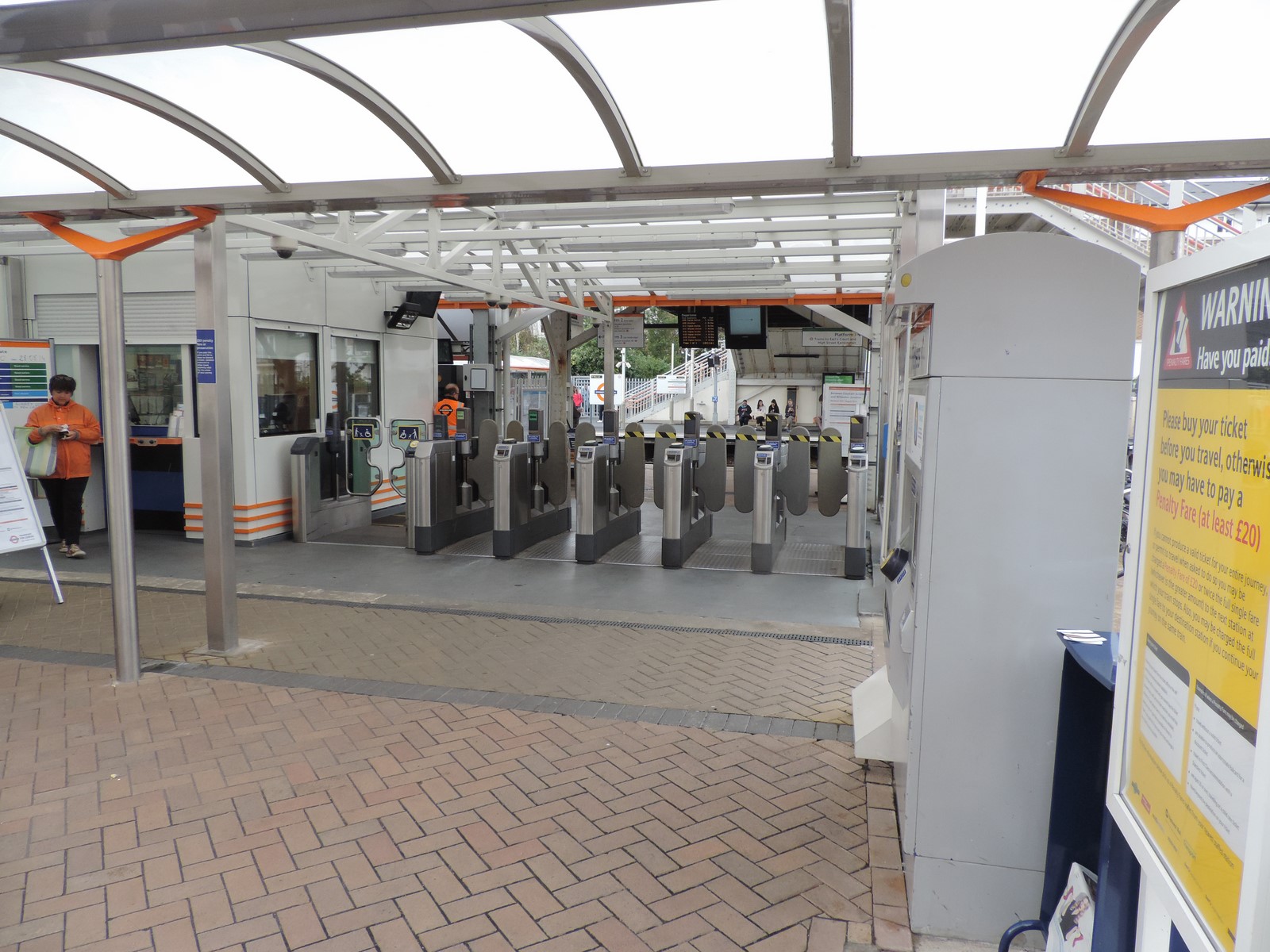
The ticket office was refurbished in 2011 with the upholstered seating, plants and lighting removed. A new double door entrance directly from the ticket office to the platform was installed and the old adjoining covered entrance was bricked up. People were still able to reach the footbridge from the alleyway by the side of the building and through the metal gate adjacent to it, avoiding a longer walk via the platforms. In 2012 the refurbished ticket office was closed and the entrance to the toilets from there blocked off. A new ticket office resembling a small Portakabin was built on the platform opposite the District line platform and the gate to the footbrige padlocked. The public toilets were made accessible from the doors to platform 2.
In summer 2012, Transport for London said they wanted to introduce ticket gates at the station to combat fare dodgers, which would remove access to the footbridge used by local residents for years. Both the councils within whose boundaries this station falls have stated that they intend to challenge this loss of an established right of way. The plan to remove access to the footbridge was abandoned in April 2013 and instead, ticket gates would be introduced to divide the station and bridge into two separate lanes.
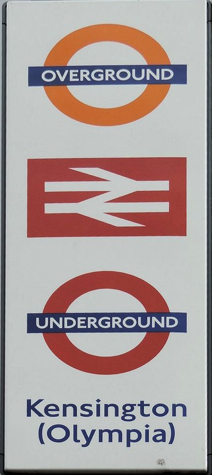
The station appears in some National Rail maps and timetables as Kensington Olympia but on London Underground maps and station signage as Kensington (Olympia) (also used on the latest National Rail "London Connections" map). The variant with brackets is in the London Railway Atlas, published by Ian Allan in 2009. On the dot matrix indicators on District line trains, the station is shown as Olympia. Although over-painted, 'Addison Road Station' appears sculpted into a wall on the eastern pedestrian exit from the station.
The shuttle to Earl's Court and High Street Kensington runs at weekends and during major exhibitions on weekdays. A very limited service also operates during the early morning and evening each weekday. There is no service New Year's Eve or New Year's Day when these days fall on or partly on a weekend.
London Buses routes 9; 10; 27; 28; 49; 391; C1 and night routes N9; N28 and National Express coach routes 701/702 serve and pass the station.