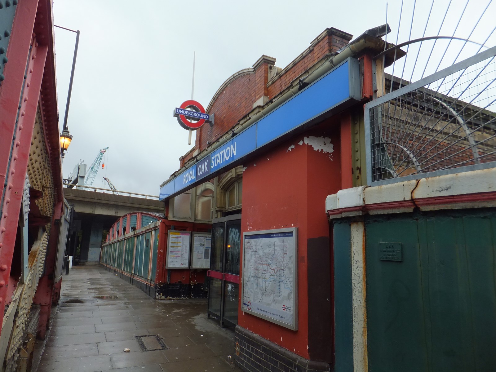
 Royal Oak tube station is a station of the London Underground, on the Hammersmith & City and Circle lines, between Westbourne Park and Paddington stations. The station is on Lord Hill's Bridge and is in Travelcard Zone 2 for the London Underground. Although not heavily used at other times, the station is extremely busy during the annual Notting Hill Carnival. Because of its low usage the ticket office is normally only open from 07.00 to 09.00, Mondays to Fridays, at other times ticket machines or Oyster cards must be used. There is no wheelchair access to the platform.
The station opened on 30 October 1871, although the Metropolitan Railway extension to Hammersmith had opened in 1864. It is close to the elevated Westway section of the A40 road. The station is named after a nearby public house, "The Royal Oak" (later "The Railway Tap" and now "The Porchester").
 When the Great Western Railway (GWR) main line was first opened in June 1838, the first stop out of Paddington was at West Drayton, 13 miles 18 chains (21.28 km) from Paddington. Intermediate stations were opened over the years, and the first stop became progressively closer to Paddington: a station at Ealing Broadway (5 miles 58 chains (9.21 km) from Paddington) was opened in December 1838, and one at Acton Main Line (4 miles 19 chains (6.82 km) from Paddington) in 1868.
 In the meantime, the Hammersmith and City Railway had opened from Green Lane Junction (near the present Westbourne Park tube station) to Hammersmith on 13 June 1864, with the first stop on that route originally at Ladbroke Grove, 1 mile 61 chains (2.84 km) out, although one opened at Westbourne Park (1 mile 22 chains (2.05 km) out) in 1866.
 An agreement between the GWR and the Metropolitan Railway (who had co-owned the Hammersmith & City with the GWR since 1867) came into force on 1 July 1868, although it did not become legal until the following year. Under the agreement, various improvements were to be made; these included the provision of a station at Royal Oak, and the reconstruction of Westbourne Park. On 30 October 1871 the station at Royal Oak opened, 53 chains (1.07 km) out; it was situated between Ranelagh Bridge and Lord Hills Bridge, and access was from the latter. As originally built, it had three platform faces; one for down trains and two, each side of an island, for up trains. It was served by both main line and Hammersmith & City trains, and, for over sixty years, this was the first stop out of Paddington for main line trains; it remains the first stop for Hammersmith & City services.
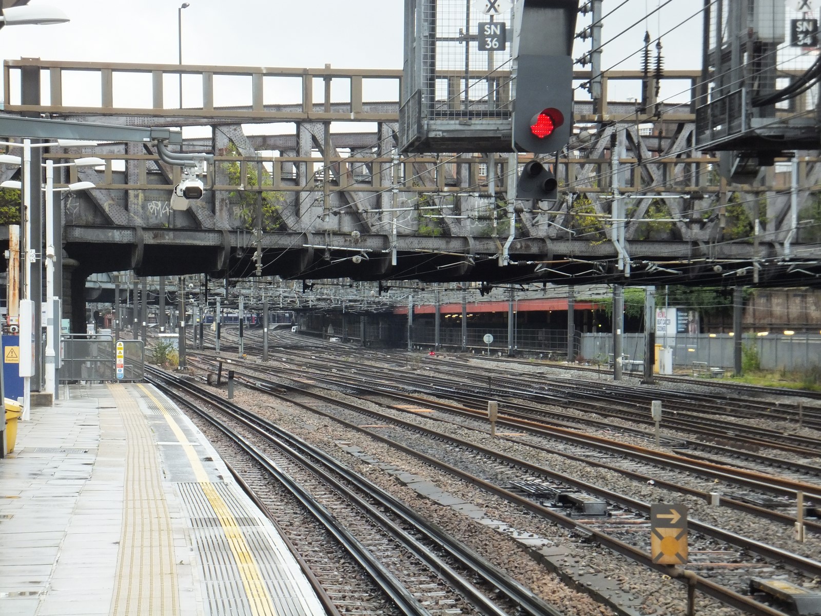
 During the quadrupling of the Great Western Main Line (GWML) in 1878, a dive-under, known as Subway Tunnel, was constructed between Royal Oak and Westbourne Park. This was for Hammersmith & City services, allowing them to cross the main line without interfering with the flow of traffic; it was brought into use on 12 May 1878. To accommodate the additional track of the main line, it was necessary to reduce Royal Oak station to two platform faces; the former down platform was removed (its track becoming the up main), and the southern of the two former up platforms became the down platform.
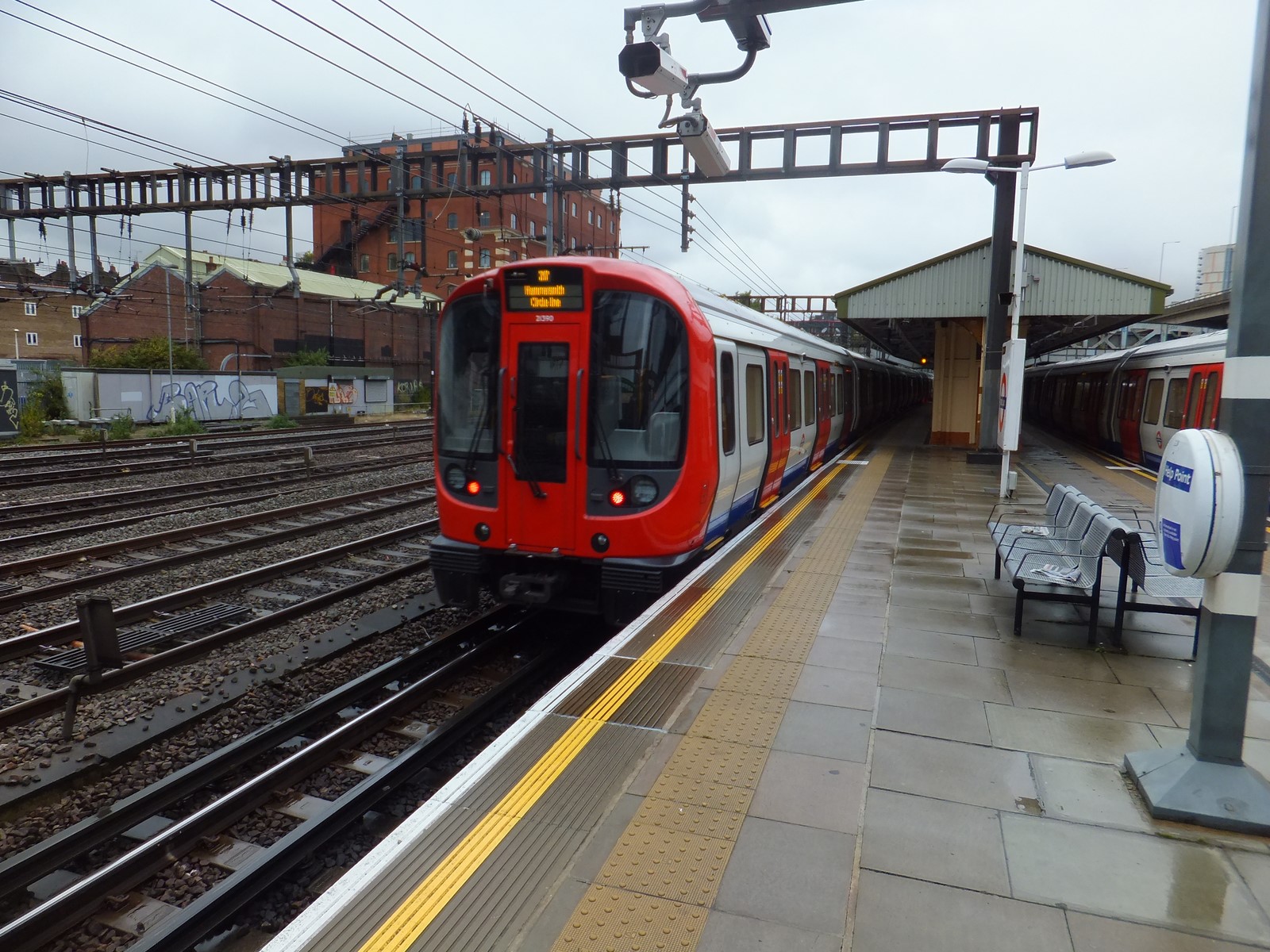
Trains along the GWML ceased to call at Royal Oak from 1 October 1934, but the Hammersmith & City service remained. Ownership of the station was not transferred to London Transport until 1 January 1970. The first GWML stop out of Paddington is now Acton Main Line.
London Buses routes 18; 36 and N18 serve the station.