
Harbourside Park, Midland, Ontario
Posted by:  JDandDD
N 44° 45.311 W 079° 53.051
17T E 588317 N 4956360
Park that runs along the southeast side of Midland Harbour.
Waymark Code: WMMFK
Location: Ontario, Canada
Date Posted: 08/17/2006
Views: 31
Harbourside Sign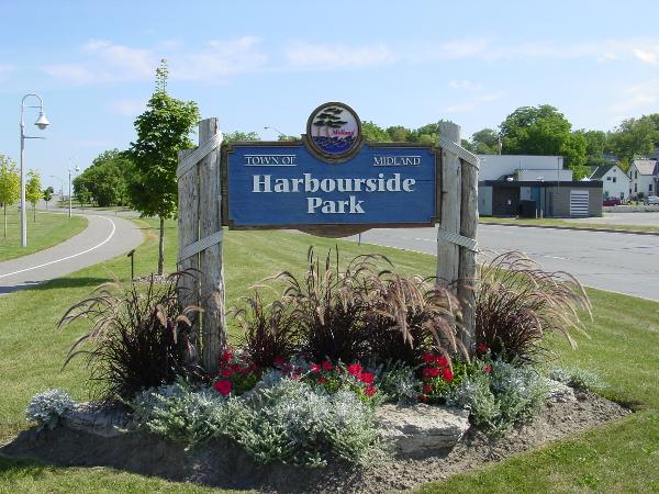
The coordinates are for the sign. This park sits on former railway lands reclaimed when the railway left in the early 1990's. It currently is used mostly as green space and for the paved Rotary cycling and walking trail the runs through its entire length.
Harbourside to the Northeast
At the top of the hill is a Canadian Flag waving (very hard to see because of the distance). At this spot is one of the best views of Southern Georgian Bay.
Fountain in Harbourside
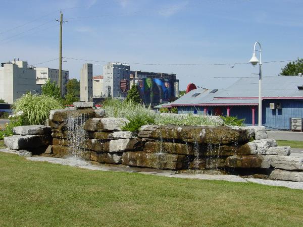
The north face of the fountain is nearly identical to this south face. Behind the found you can see a giant mural by the late Fred Lenz on the grain elevators.