|
 Albeni Road Bridge - 1962 - Priest River, ID Posted by:  T0SHEA T0SHEA
N 48° 10.832 W 116° 53.681
11U E 507828 N 5336371
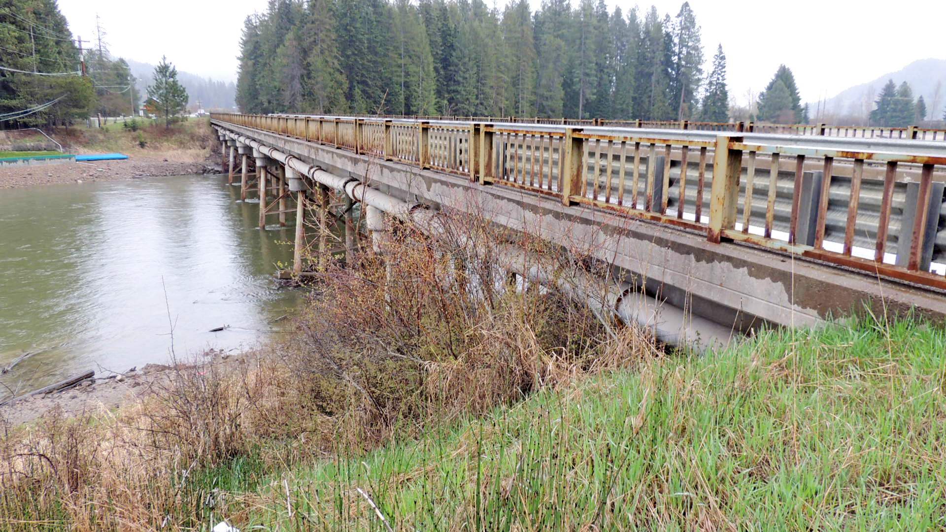
This concrete girder bridge is at the eastern outskirts of the town of Priest River, Idaho.
Waymark Code: WMM4BB
Location: Idaho, United States
Date Posted: 07/19/2014
Views: 1
The bridge carries Highway 2/Albeni Road over the Priest River just north of where it empties into the Pend Oreille River, which, in turn, empties into the Columbia River just north of the Canadian border. The bridge is a multi-beam or girder type of 7 spans, each supported by what appear to be four fluted steel pilings or columns. Each span is 49.2 feet in length, the bridge being 352.1 feet in length.
Date built or dedicated as indicated on the date stone or plaque.: 1962

Date stone, plaque location.: Behind guard rail on concrete railing support, right hand side, each end of bridge
Road, body of water, land feature, etc. that the bridge spans.: Priest River
Website (if available): [Web Link]
Parking (safe parking location): Not Listed
|
Visit Instructions:
Please provide an original picture of the location and some original words regarding your visit.
Recent Visits/Logs:
| There are no logs for this waymark yet. |
|
|
|
|