|
 Centennial Park - Trail, BC Posted by:  T0SHEA T0SHEA
N 49° 05.973 W 117° 39.505
11U E 451937 N 5438731
This park was a centennial project of the municipalities of Trail and Tadanac, created to commemorate the centennial of confederation of Canada in 1967.
Waymark Code: WMM1FM
Location: British Columbia, Canada
Date Posted: 07/02/2014
Views: 1
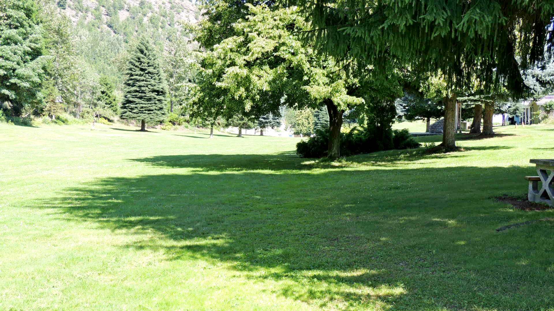
Well hidden and little known to anyone except those who live close by, this park is essentially a large grassed area with many mature trees, both deciduous and conifer, alongside Highway 3 in East Trail. We drove by it a thousand times before we realized it was a park, not simply a wide boulevard. It's not included in the city's listing of neighborhood parks. The majority of it is hidden from the highway by large trees. It is a long park of about 1 km. which is about 100 - 120 metres wide at its widest.
The only amenities in the park are some picnic tables, but it is a great place to let the dog run, throw a frisbee or a baseball or football around, or just lie in the shade of the trees and let the rest of the world go by.
Subject: Country

Commemoration: Canada's Centennial
Date of Founding: 1867
Date of Commemoration: 1967
Address:
Highway 3 & Woodland Drive
East Trail, BC
Overview Photograph:
Yes
Detail Photograph:
Yes
Web site if available: Not listed
|
Visit Instructions:
- Artistic Photograph of Location. Make it from a new angle to show something new. Pictures can include interaction, as that is encouraged, but should be done so with the thought of inspiring further visitation of the area. No GPSr Pictures, unless there is something significant to show about the coordinates.
- In your description, tell us something new you learned about the area and your impressions of the waymark.
Recent Visits/Logs:
| There are no logs for this waymark yet. |
|
|
|
|