
Jordan, Oregon
Posted by:  ddtfamily
N 44° 42.961 W 122° 41.540
10T E 524368 N 4951450
Location of an unincorporated community in rural Linn County
Waymark Code: WMKC7C
Location: Oregon, United States
Date Posted: 03/18/2014
Views: 2
Jordan, Oregon, is an unincorporated community in rural Linn County, Oregon. Area maps generally label Jordan at the intersection of Albany-Lyons Highway (Oregon 226) and Jordan Road. However, the most recognizable landmarks today are clustered around
Our Lady of Lourdes Catholic Church, at the intersection of Jordan Road and Camp Morrison Road about one mile to the south. In fact, the highway sign on the Albany-Lyons Highway directs travelers that Jordan is located one mile south. For many years, the
Jordan Covered Bridge was located on Jordan Road, however, under threat of demolition, the bridge was moved to Stayton in the last 1980s (it accidentally burned in 1994 and was replaced by a replica).
According to the Wikipedia article, the community was once the site of the Monastery of Our Lady of Jordan, a Strict Observance Cistercian (Trappist) monastery that existed from 1904 to 1910.
Note: Click a photo to enlarge
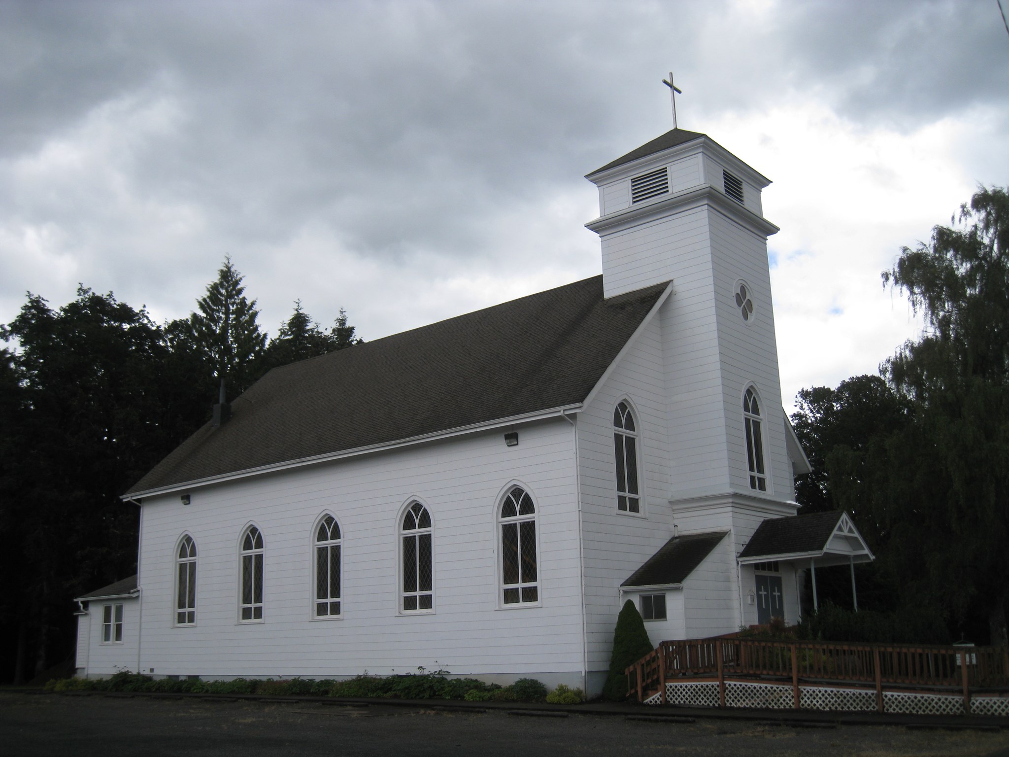
Our Lady of Lourdes Catholic Church |
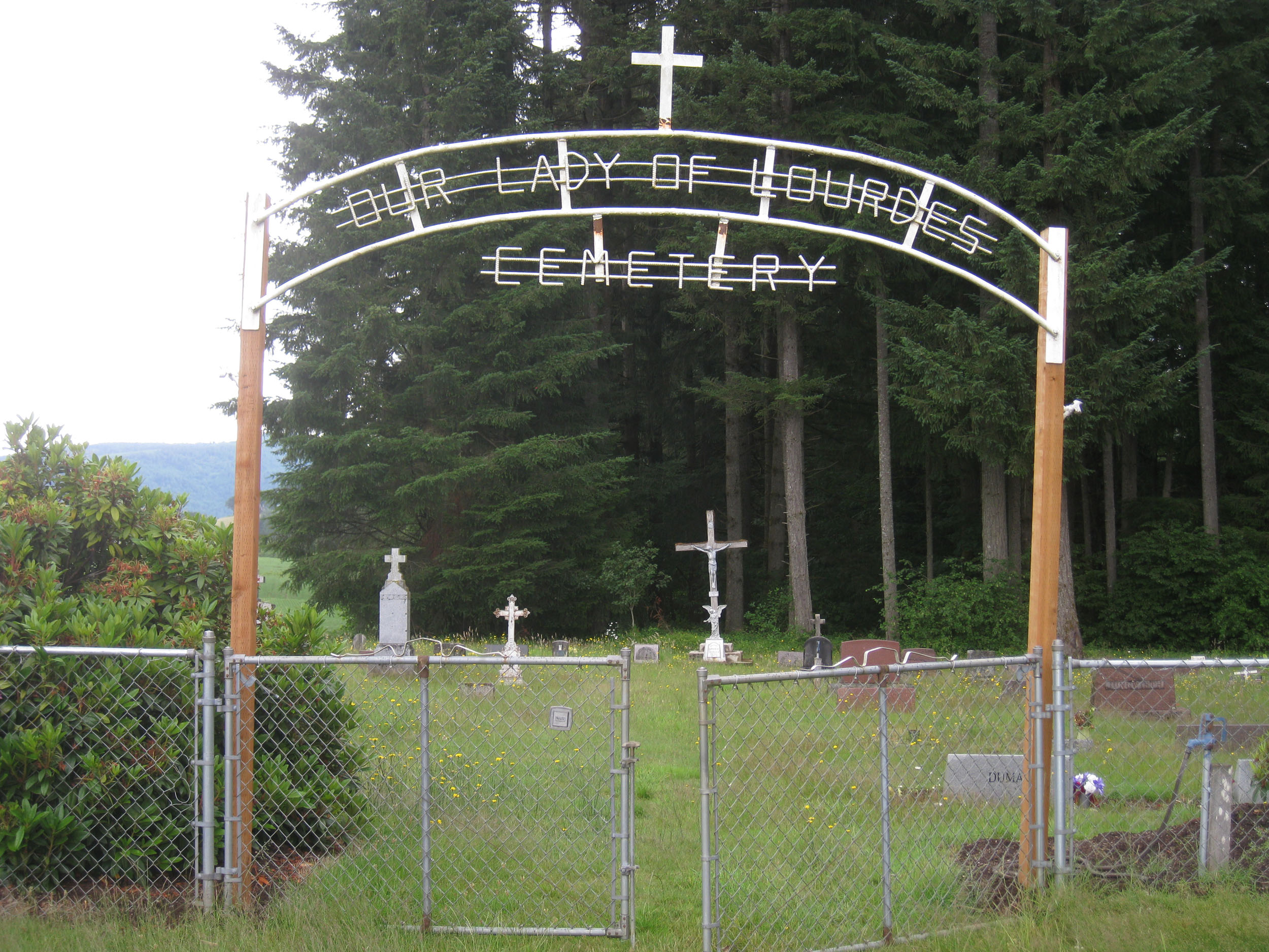
Our Lady of Lourdes Cemetery |
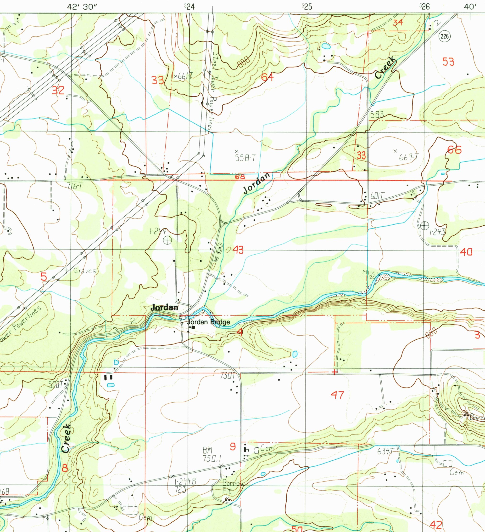
Excerpt of the 1985 USGS Jordan 7.5-minute series map - note the church and cemetery |