CONFLUENCE - Mill Creek - Willamette River
Posted by:  ddtfamily
N 44° 57.071 W 123° 02.315
10T E 496956 N 4977527
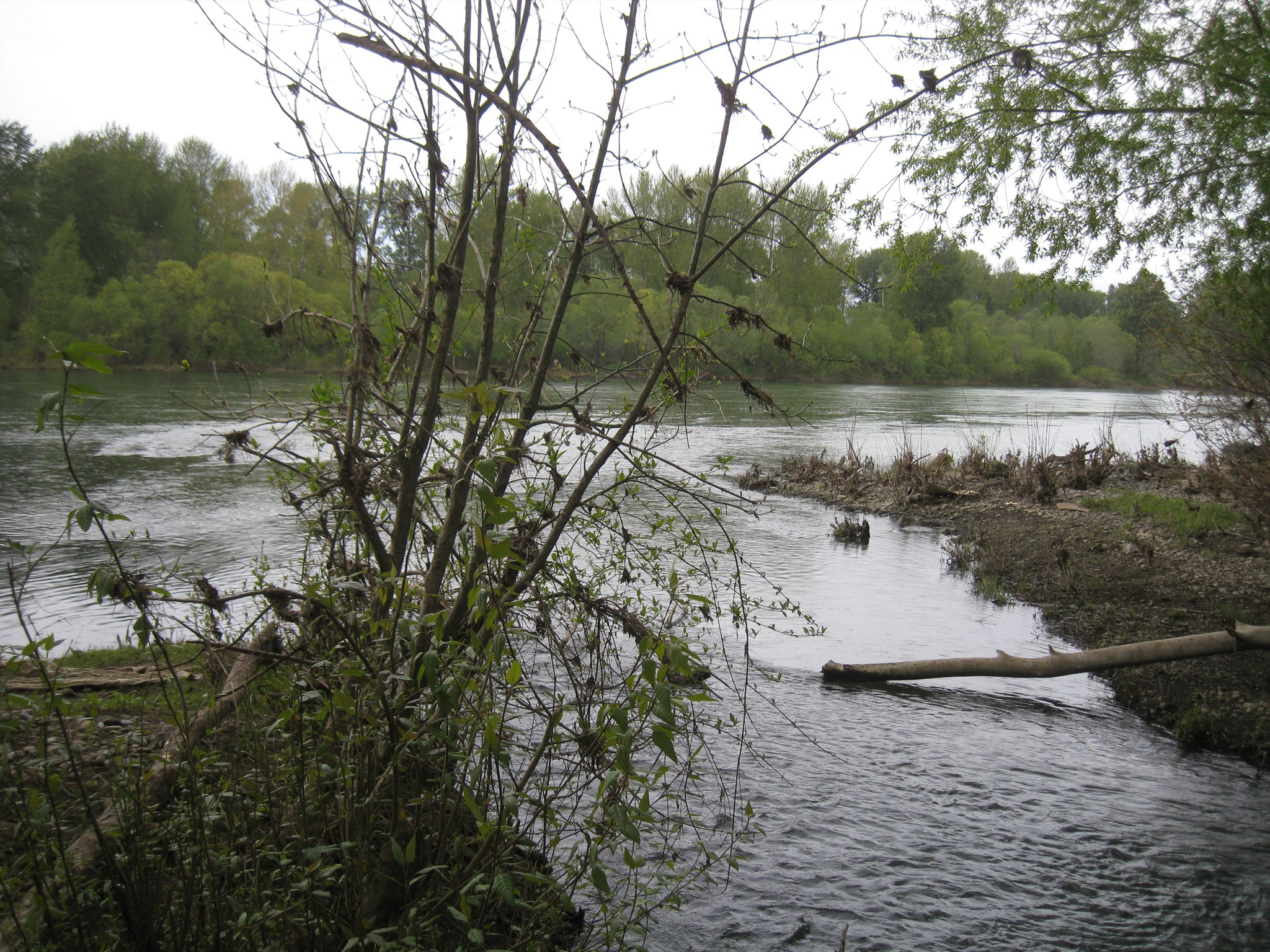
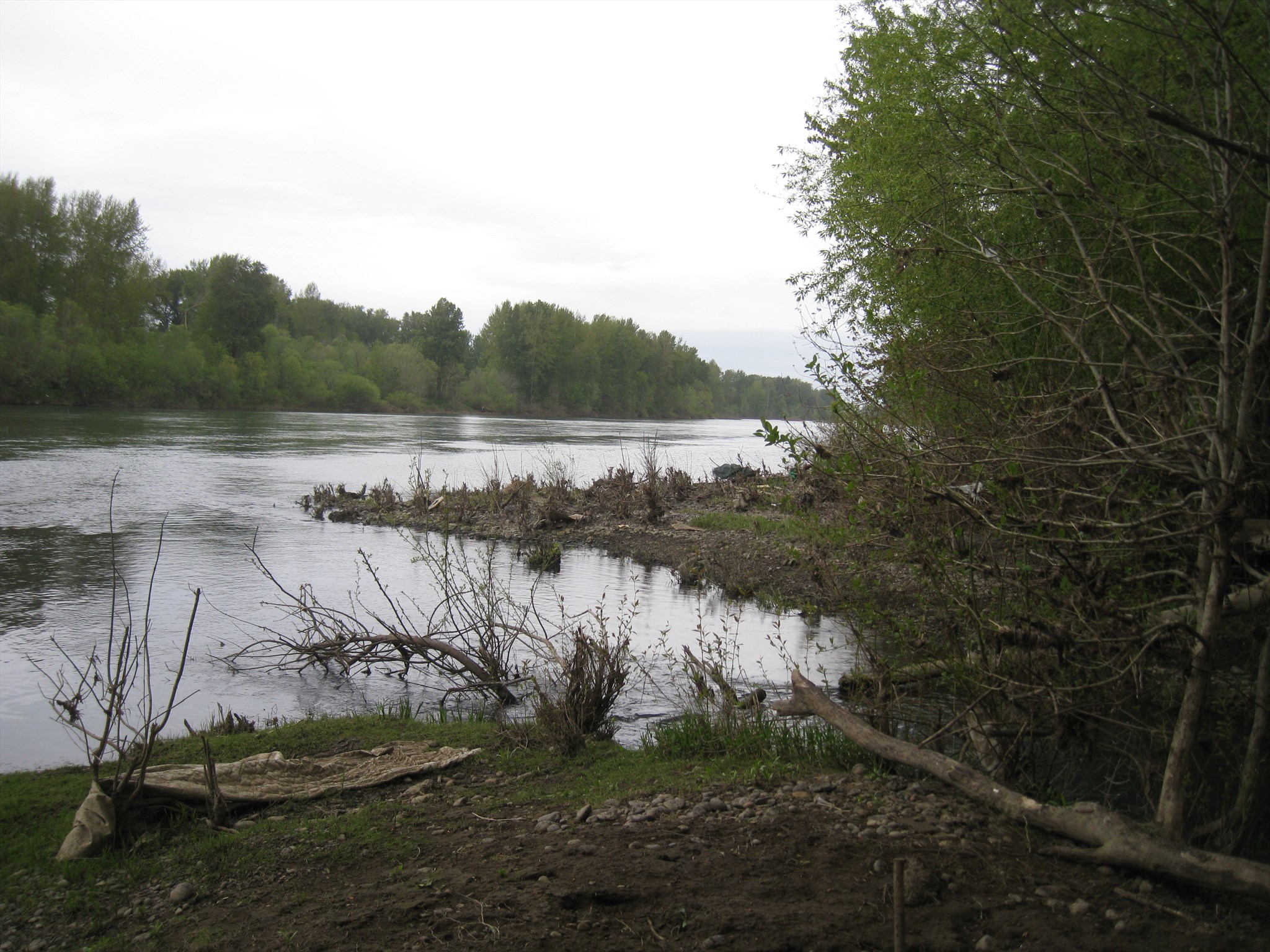
Confluence of Mill Creek and the Willamette River
Waymark Code: WMK1CF
Location: Oregon, United States
Date Posted: 01/29/2014
Views: 1
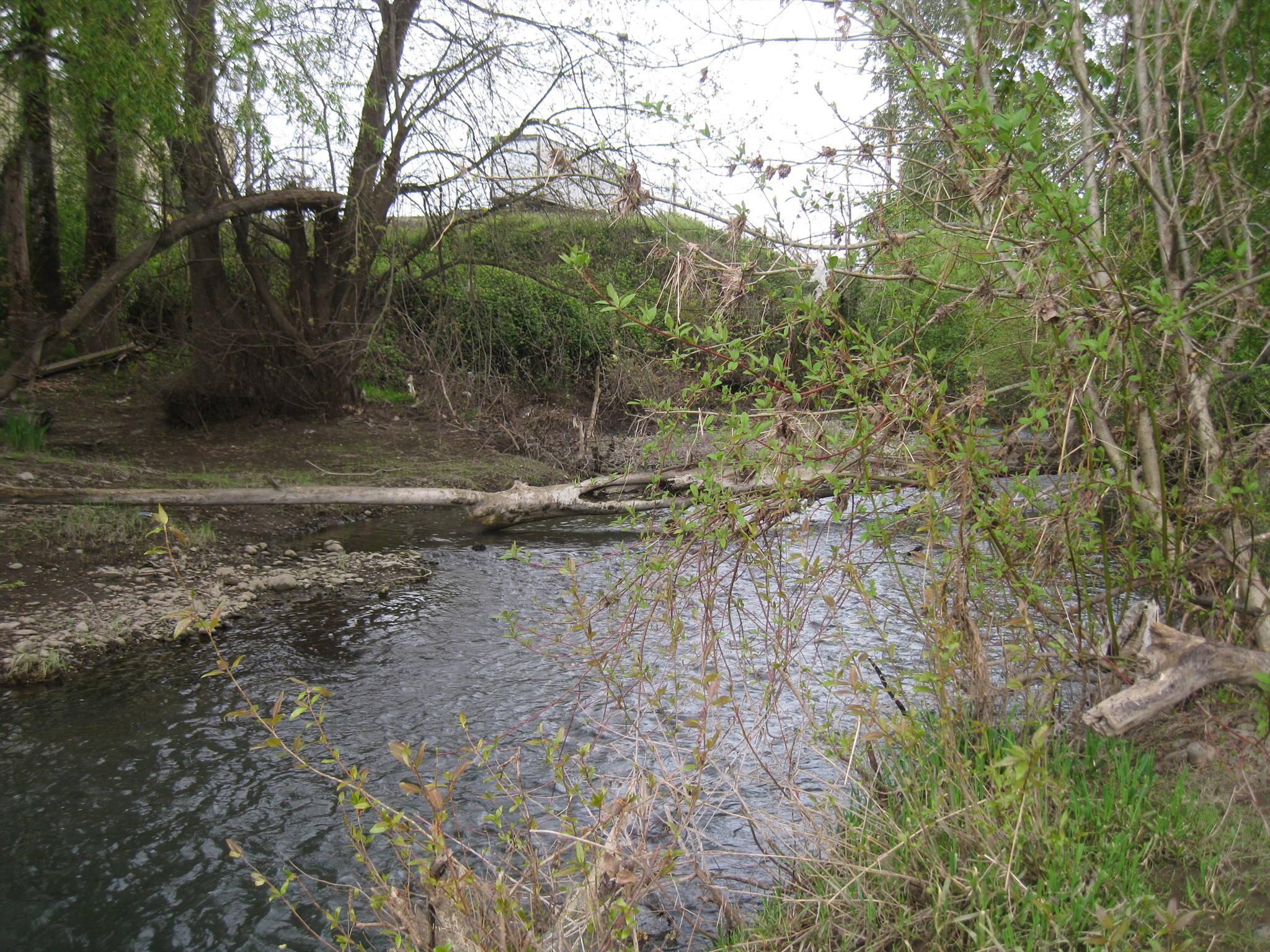
Mill Creek is a 26-mile long creek that flows generally from east to west from it's origin south of Silver Falls State Park to it's confluence with the Willamette River in Salem, Oregon. The creek drains a 111-square mile area of Marion County, passing through the cities of Aumsville, Stayton, Sublimity, Turner and Salem.
The Willamette River is a major tributary of the Columbia River, accounting for 12 to 15% of the Columbia River's flow. The main stem of the Willamette is 187 miles long and flows northward from the mountains south and southeast of the Eugene-Springfield area to it's confluence with the Columbia River in Portland, Oregon. The Willamette was named an American Heritage River in 1997.
Waymark coordinates were obtained from the south bank of Mill Creek, where it flows into the east side of the Willamette River.
Click a photo to enlarge