
"NINE MILE PORTAGE" - Barrie
Posted by:  Jake39
N 44° 23.333 W 079° 41.279
17T E 604500 N 4915903
This sign describes the eastern terminus of an Indian portage route.
Waymark Code: WMJRW
Location: Ontario, Canada
Date Posted: 07/30/2006
Views: 64
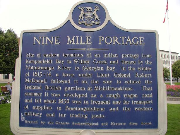
 Site of eastern terminus of an indian portage from Kempenfeldt Bay to Willow Creek and thence by the Nottawasaga River to Georgian Bay.
In the winter of 1813-14, a force under Lieut-Colonel Robert McDouall followed it on the way to relieve the isolated British garrison at Michilimackinac. That summer it was developed as a rough wagon road and till about 1830 was in frequent use for transport of supplies to Penetanguishene and the western military and fur trading posts.
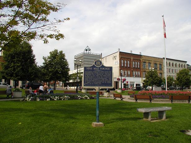
Address or location of plaque: Dunlop & Owen St.

Physical location of plaque: City
"Ontario Plaques" Website for this "Plaque": [Web Link]
Description of any physical remains at site of "Historical Plaque": The sign only.
This 'Plaque' describes: An 'Event'
Condition of sign: Fair to good
A web-site for more details.: Not listed
Is this a bilingual sign?: Not listed
What is the second/third language?: Not listed
|
Visit Instructions:
A "Visited" only remark, will be deleted.
No Waymark owner "Visits" allowed when setting up the Waymark.
Subsequent visits, at another time with photo are acceptable.
NOTE: All photos must include the 'O.H.P.Plaque' at its location to qualify for a "Visited"