 Monte Cinto
 (2,706m / 8,878ft ASL) (Corsican:
Monte Cintu) is the highest mountain on the
island of Corsica, a région of France.
Its elevation is 2,706 m and so is its
prominence, making it one of the most prominent peaks in Europe (according to
Peaklist.org, Monte Cinto is ranked 5th in the list of most prominent european summits).
Its location gives it a theoretical panorama of mountains on mainland Europe stretching from near Marseille to Rome. The most distant mountain theoretically visible is Monte Rosa in Switzerland, just west of north, approximately 405 km (252 mi) away.
The first known ascent of Monte Cinto was by a party led by Édouard Rochat on June 6, 1882, who reached the summit via the mountain's southern slopes.
On May 26, 1883, a party led by the English mountaineer Francis Fox Tuckett, and including the guide F. Devouassoud and the landscape painter Compton, also ascended the mountain by the pass that now bears Tuckett's name.
 Access:
Our group hiked to Monte Cinto from camping area above village of Lozzi, situated approx. 10kms southwards from Cinto mountain range.
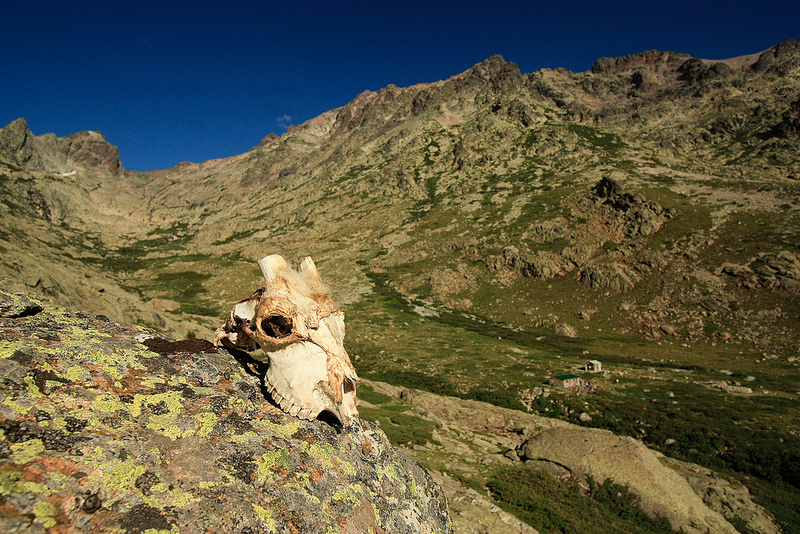
We passed by lonely cabin,
then another refugee in better condition, available for trekkers to sleep overnigth and further up to glacial valley to lake Cinto.
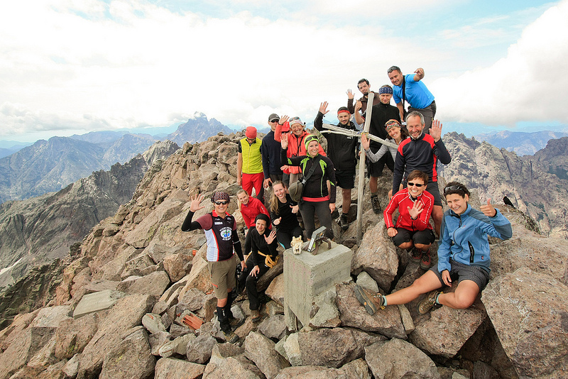
From lake it take about 2 hours to reach the Cinto summit.
Ascent is relativelly long, but technically not too difficult. Hike took us whole day (7am - 6pm), we walked about 22kms with total ascent over 2000 metres with same descent on the way back.
Summers are very hot here, so it's wise to plan your trip rather for May or September. There is enough water on the way (stream, glacial lake), so it is necessary to carry just 1-2 litres with you.
Views are breathtaking all around, weather use to be nice and stable, thus be prepared for one of most beautiful hike in lifetime!