Columbia River Bridge at Northport - Northport, WA
Posted by:  T0SHEA
N 48° 55.451 W 117° 46.633
11U E 443066 N 5419318
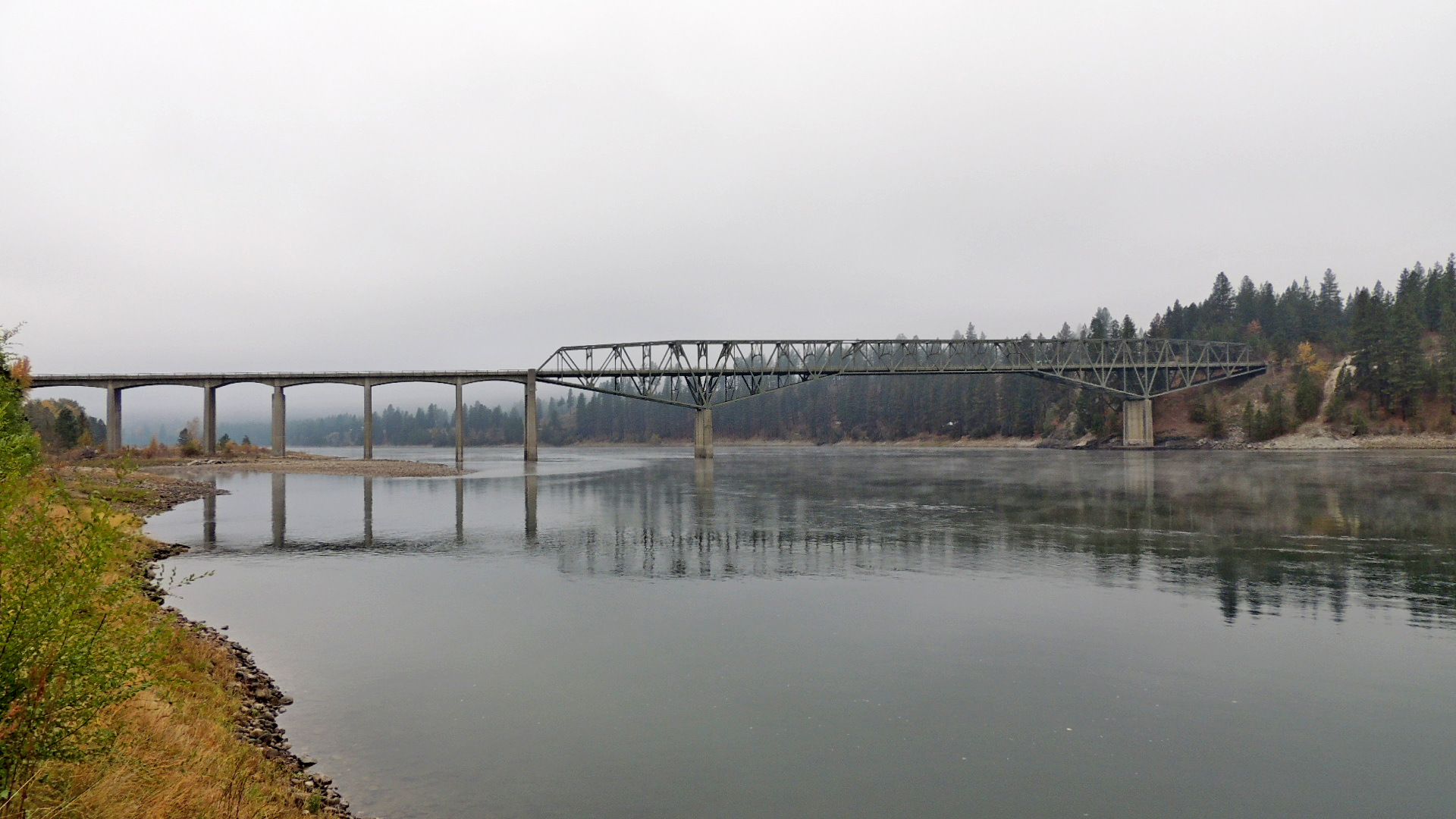
Begun in 1947, this large truss bridge was completed in 1951 as a replacement for a timber bridge built in 1897. It carries Highway 25 over the Columbia River at Northport.
Waymark Code: WMJAMY
Location: Washington, United States
Date Posted: 10/20/2013
Views: 1
The total span of the steel truss bridge, including 673 feet of concrete approach spans on the south end, is 1542 feet (470 m). It has a 224 foot (68 m) central span supported by two cantilever spans of 140 feet (43 m) each, outside of which are 2 anchor spans of 168 feet (51 m) each and concrete approach spans.
Designed by George Stevens of Washington State Highways, steel work was done by Midland Structural Steel Company.
The Northport Bridge was entered in the National Register of Historic Places on May 24, 1995.
Coordinates were taken at the date plaque on the northwest corner of the bridge.