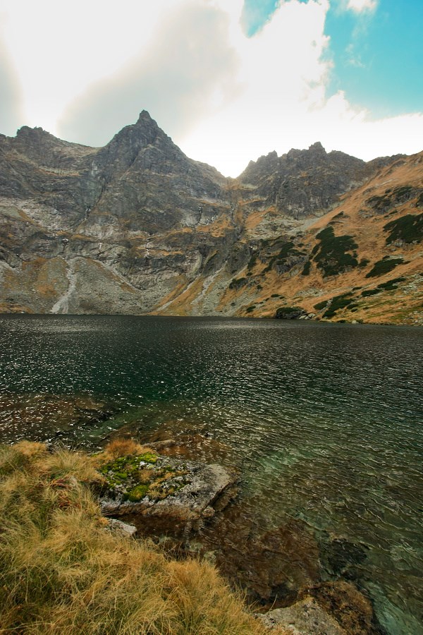
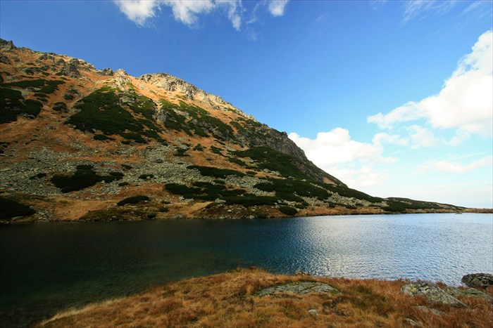
 Vysne Bielovodske Zabie pleso
 is one of 135 tarns, glacial lakes in High Tatras mountains.
With surface area 9,56 hectares (956 square metres, 530 metres long, 250 metres wide) it's 4th largest tarn of Slovakia.
It's located in the upper part of Zabia Bielovodska valley in elevation 1699 metres (5,574 feets) ASL. Maximal depth of the lake is 24,3 metres.
Seasonal stream is flowing from the tarn down to lower positioned Nizne Bielovodske Zabie pleso.
Access:
From Lysa Polana settlement follow blue marked hiking trail up the Bielovodska valley. After 7-8 kilometres you'll come to shelter with picnic table. Leave the blue trail and turn right to Zabia Bielovodska valley using obvious forest path.
Please, note that valley is part of National Park High Tatras, make sure you fulfil legal requirements for hiking out of marked trails.
See online
local hiking map for closer details when planning your trip.
Vysne Bielovodske Zabie pleso je jedno zo 135 vysokotatranskych plies (vratane polskych, z nich 105 su stale plesa).
S rozlohou 9,56 hektara je to 4. najvacsie pleso na slovenskom uzemi. Dosahuje dlzku 530 metrov, najvacsia sirka je 250 metrov.
Pleso sa nachadza v hornej casti Zabej Bielovodskej doliny v nadmorskej vyske 1699 metra. Maximalna hlbka jazera je 24,3 metra.
Z plesa sezonne vyteka potok napajajuci Nizne Bielovodske Zabie pleso.
Pristup:
Z Lysej Polany vedie modro-znacena trasa Bielovodskou dolinou. Po 7-8 kilometroch pridete k drevenemu pristresku so stolom a lavicami.
Tu treba odbocit doprava na lesny chodnik, ktorym vystupate do Zabej Bielovodskej doliny. Pre planovanie tury si mozete pozriet
tuto mapu.
Samozrejme, nachadzate sa v Narodnom parku Vysoke Tatry, pohyb mimo znacenych turistickych tras je povoleny len opravnenym osobam podla navstevneho poriadku.