
Hwy 35 Airport WXCams - High Level, AB
Posted by:  T0SHEA
N 58° 37.049 W 117° 09.923
11V E 490393 N 6497471
There is a pair of weather cams operating at the High Level Airport, which is 11 km. north from the town of High Level on Hiway 35.
Waymark Code: WMJ8R3
Location: Alberta, Canada
Date Posted: 10/11/2013
Views: 2
The WXCams are mounted atop the control tower on the eastern side of the terminal building. This one is looking north.
The weathercams are operated by Nav Canada. All weathercams - aka WXCams - can be found here. Included in the gallery is the Nav Canada Reference image.
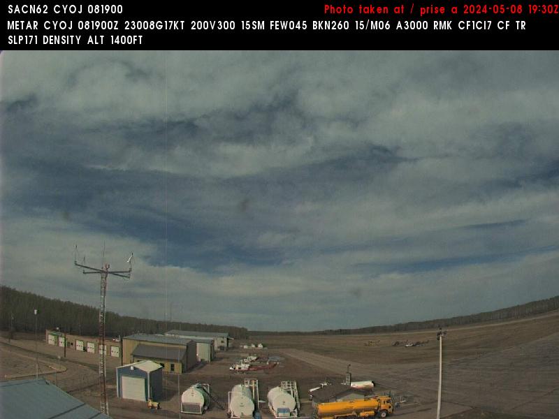
The Nav Canada WXCams update every 10 minutes.