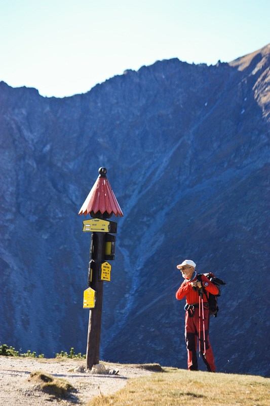
 Sedlo Zábrat
 (1,656m / 5,433ft ASL) is grassy mountain pass in Western Tatra mountains, Slovakia.
Two marked hiking trails meets here - yellow trail leading from chata (challet) Zverovka through Látaná dolina (valley), that continues up to Rákon - quite flat hill on the main ridge of the mountain.
Green-marked trail climbs from nearby atliakova chata (challet) from Rohácska dolina (valley).
It means that these signs on wooden pole are basically pointing to
three different directions and multiple destinations on each one.
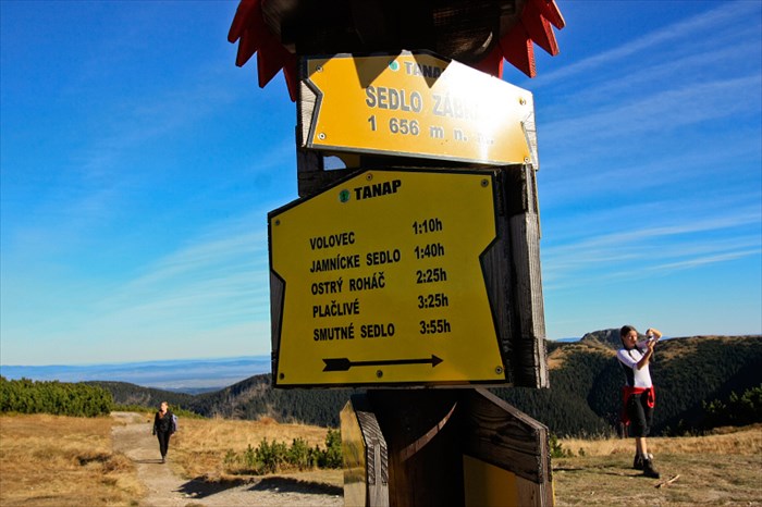
Please, see the
hiking map of this area for more detailed visual information. This online map includes a feature of Hikeplanner for more convenient planning.
Of course, information about
average time needed for hike to each point is a good tradition in Slovakia.
 Sedlo Zábrat
 (1,656m.n.m) je lúcnaté sedlo na výbežku z hlavného hrebena Západných Tatier, Rohácov.
Stretávajú sa tu dve znacené turistické trasy - žltá zo Zverovky cez Látanú dolinu, ktorá dalej pokracuje na kopec Rákon a zelená spojka z Rohácskej doliny, od Tatliakovej chaty.
Takže v zásade ukazujú tabulky na rázcestníku tromi smermi, pricom tabulky uvádzajú viacero cielov každým smerom.
Pre lepší prehlad Vám odporúcam prezriet si online
hiking mapu tejto oblasti.
Pri mape je aj funkcia hikeplannera pre pohodlné plánovanie výletov.
Samozrejme, ukazovatele na rázcestníku sú doplnené aj o orientacný casový údaj, kolko by Vám mal výlet za dalším cielom trvá.