Santiam River - Marion-Linn Counties, Oregon
Posted by:  ddtfamily
N 44° 42.877 W 123° 00.783
10T E 498966 N 4951249
Section of the Santiam River in Linn and Marion counties
Waymark Code: WMHEV0
Location: Oregon, United States
Date Posted: 07/02/2013
Views: 2
"The hills gradually diminish in height as the
road nears the valley of the SANTIAM RIVER, named for a tribe
of Calapooyan Indians." -Oregon: End of the Trail, 1940
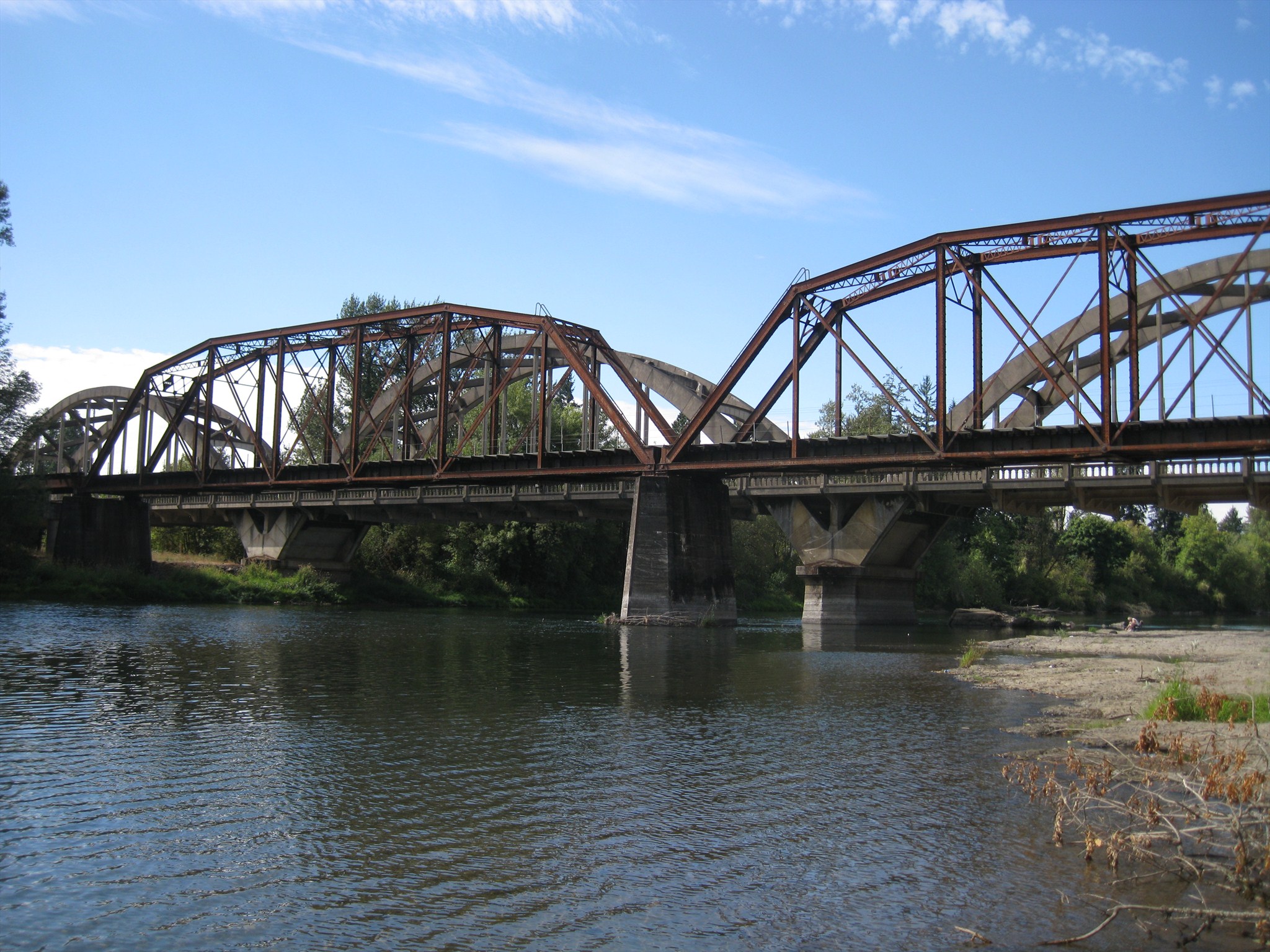
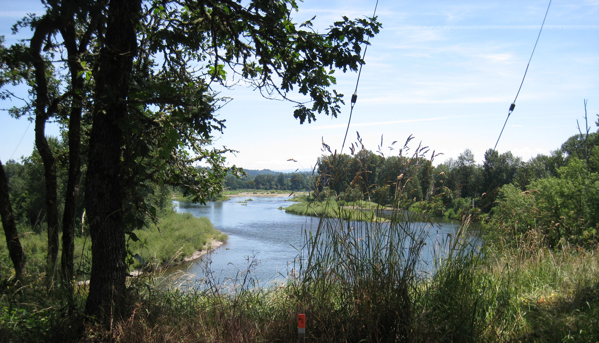
This section of the guide refers to the Santiam River as it flows west from the town of Jefferson. The waymark coordinates and default coordinates are from immediately south of the Jacob Conser and railroad bridges on the east bank of the Santiam. The other photos is from the Santiam Bluffs Road, northwest of Jefferson in Linn County.
Click a photo to enlarge