Looney Butte - Marion County, Oregon
Posted by:  ddtfamily
N 44° 46.621 W 123° 02.389
10T E 496849 N 4958181
Butte named for the pioneering Looney family
Waymark Code: WMHEJ4
Location: Oregon, United States
Date Posted: 07/01/2013
Views: 3
"LOONEY BUTTE (R), 72.7 m. (630 alt.), was named for Jesse
Looney, an early settler. The hills gradually diminish in height as the
road nears the valley of the SANTIAM RIVER, named for a tribe
of Calapooyan Indians." - Oregon: End of the Trail, 1940
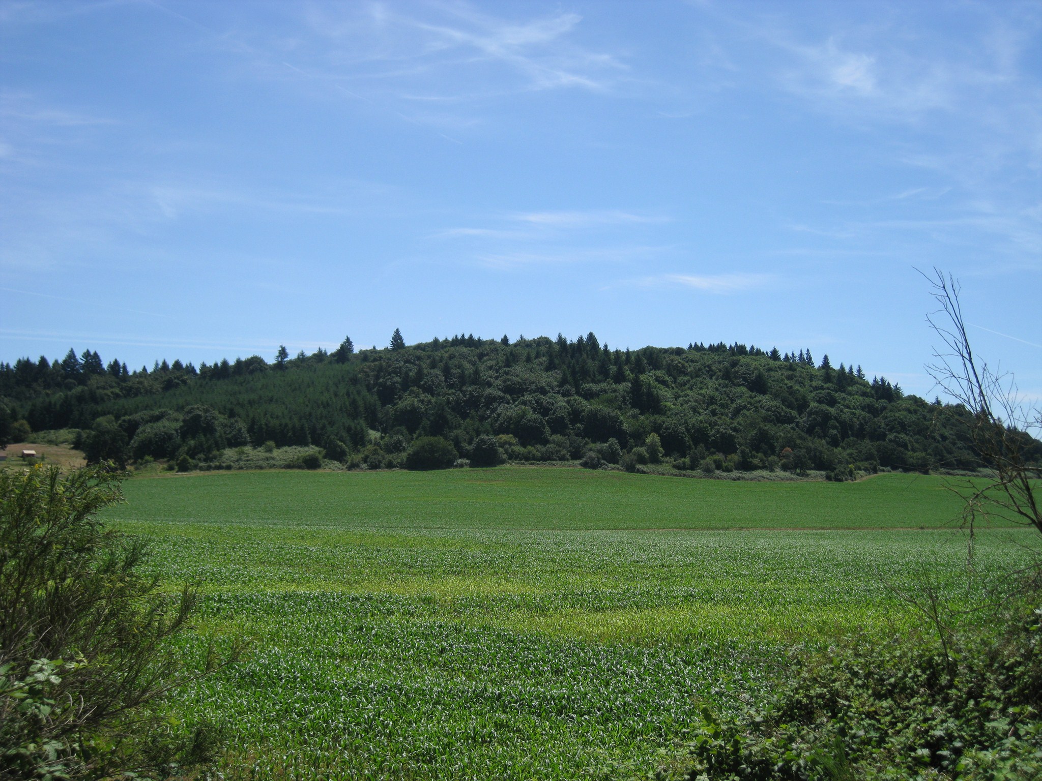
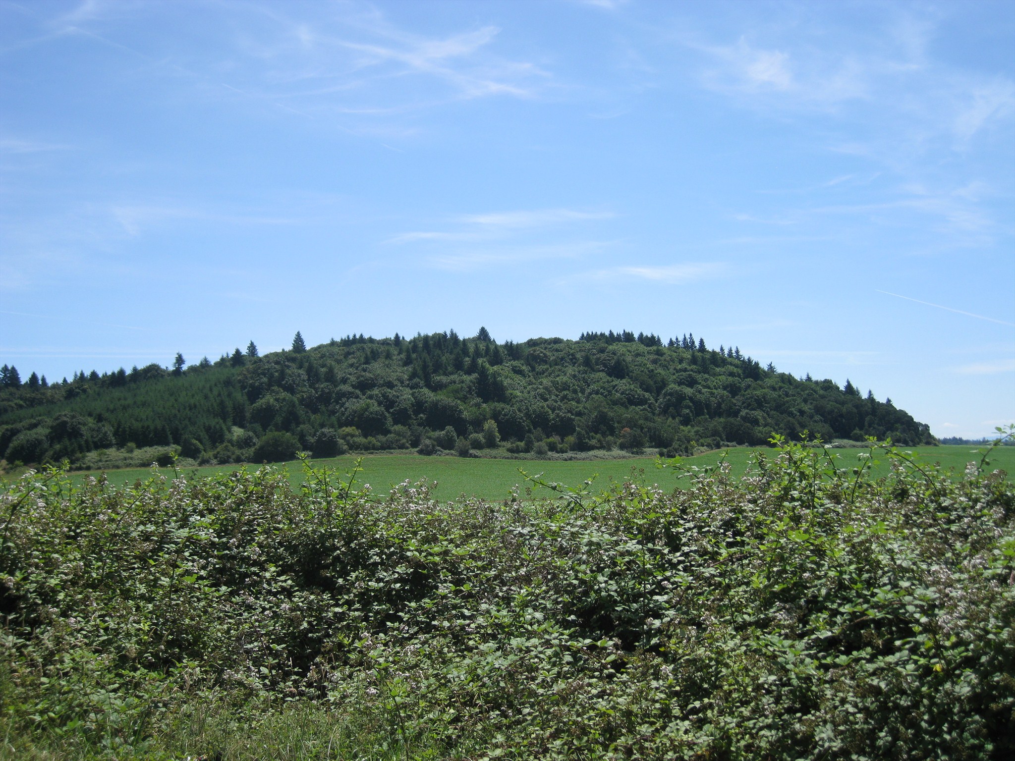
Today Looney Butte remains a rural, forested hill in the midst of farmland, containing a few houses on and around it. Some good views are from the Interstate 5 exit for Ankeny Hill Road as the butte is to the east of that location.
Note: Waymark coordinates are from one of the better vantage points just off the interstate on Ankeny Hill Road. The butte is about 1/2 mile to the southeast.
Click a photo to enlarge