Site of Syracuse - Linn County, Oregon
Posted by:  ddtfamily
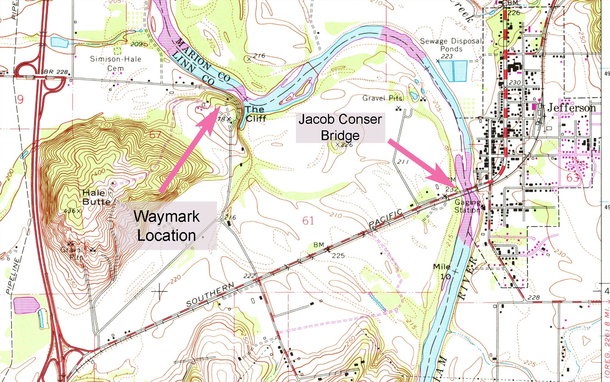
N 44° 43.251 W 123° 02.131
10T E 497186 N 4951941
Site of 19th century town and Hale's Ferry crossing
Waymark Code: WMHECB
Location: Oregon, United States
Date Posted: 06/30/2013
Views: 2
"The JACOB CONSER MEMORIAL BRIDGE, crossed at the southern edge of Jefferson, was named for a pioneer of 1848.
Right from the southern end of the bridge on an unimproved road to a neglected cemetery, marking the SITE OF SYRACUSE, 1 m., founded in 1848 by Milton Hale. In the autumn of 184.5 Hale staked his claim on the south side of the river. Returning with his family, in the spring of 1846, he found the river impassable, and with an ax, an adze, and an augur, he constructed a ferryboat to convey his possessions across. Other travelers arriving before the barge was completed waited to use it in crossing. Thus encouraged, Hale continued to operate the ferry for many years. Nearly all of the emigrant travel to the upper valley on the east side of the Willamette passed this point. The town of Syracuse, on the south side of the river, soon had a rival on the north in Santiam City, which became an important trading point. Both towns prospered for some years, then disappeared, until no trace of them except the cemetery remains." -Oregon: End of the Trail, 1940
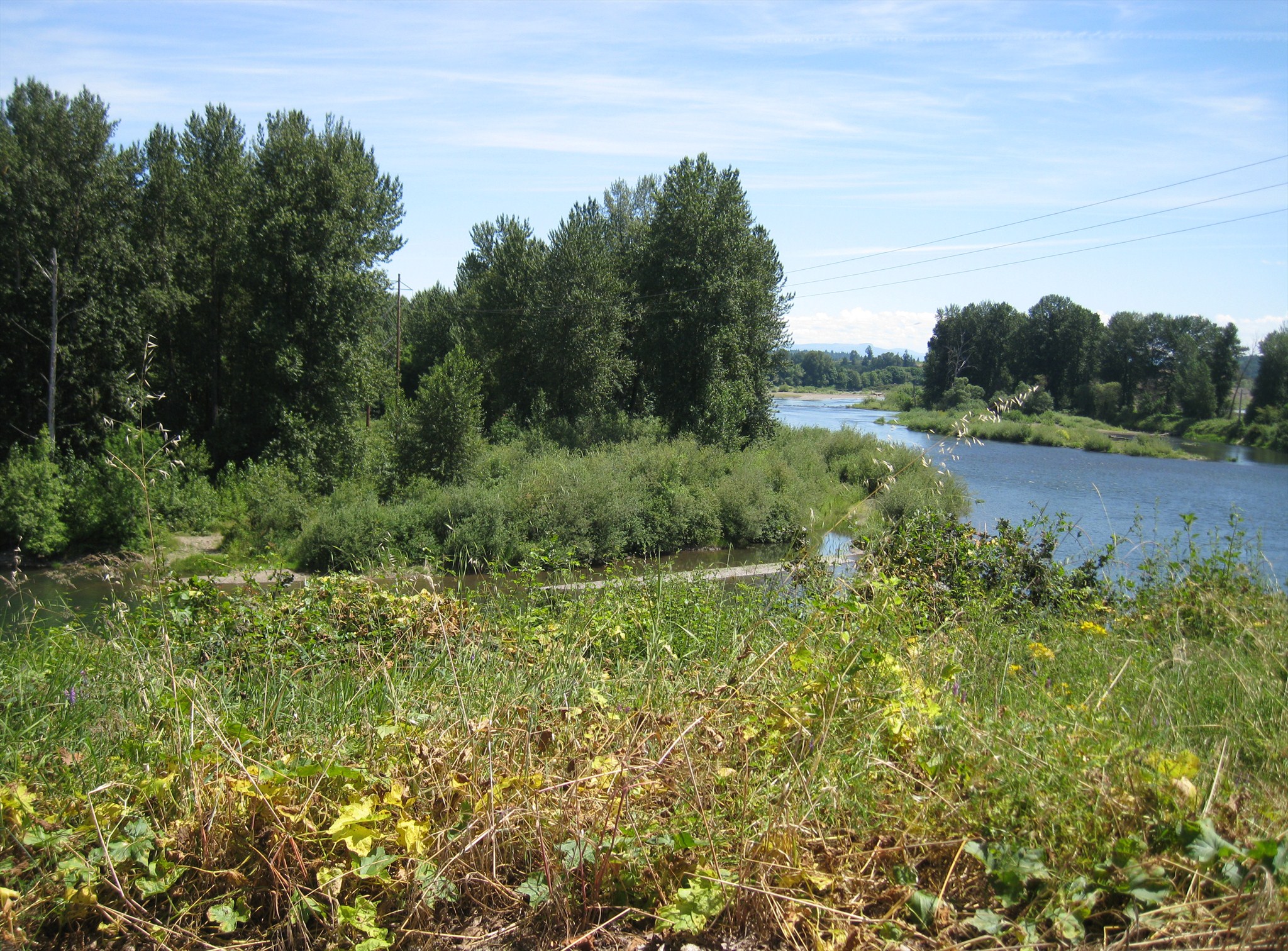
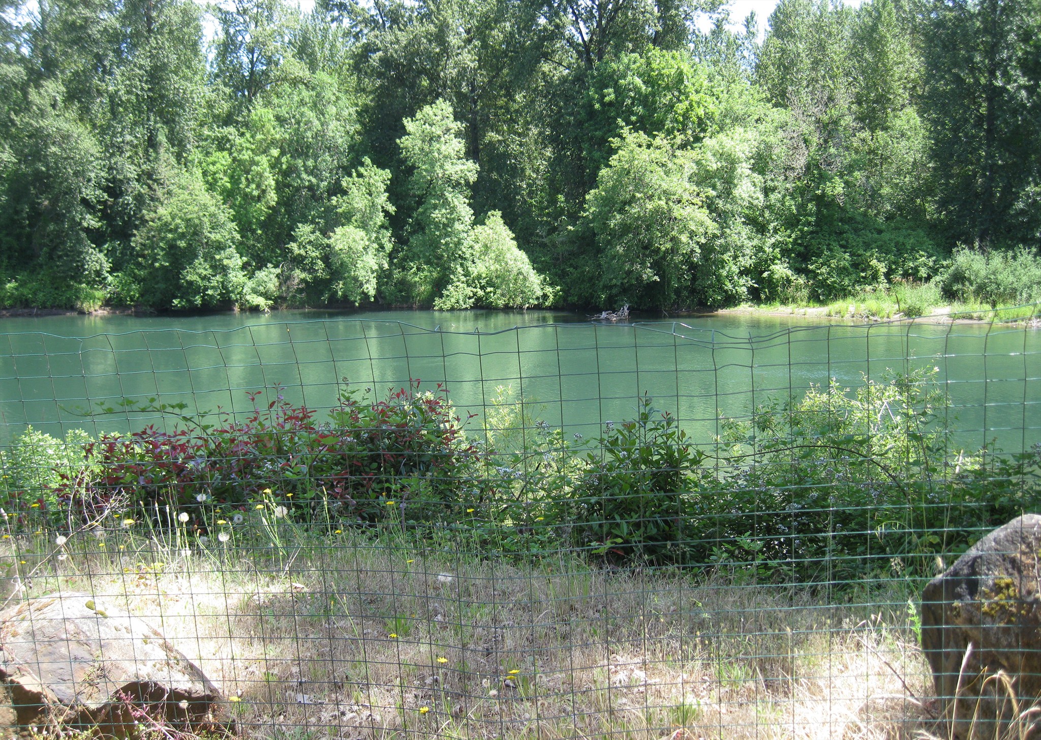
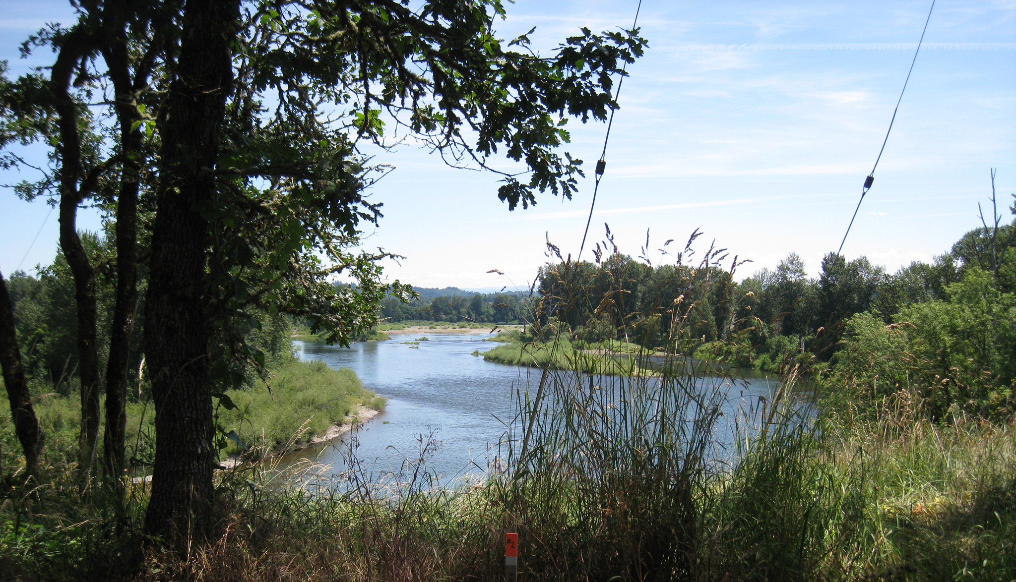
This location was a bit of a challenge to find because by the time the guide book was published in 1940, it had already been about 80 years since the Great Flood of December 1861 destroyed Syracuse and Santiam City. The waymark coordinates are at the northeast portion of Santiam Bluffs Road, overlooking the bend in the river. The actual ferry crossing site is likely within one of the photos, given the description I've read that the crossing was 1.5 miles north of what is now the Conser Bridge.
A visit here likely will be a quick photo from your car as there really is no place to park and both sides of the road are lined with many "no parking" and "no trespassing signs."
Click a photo to enlarge