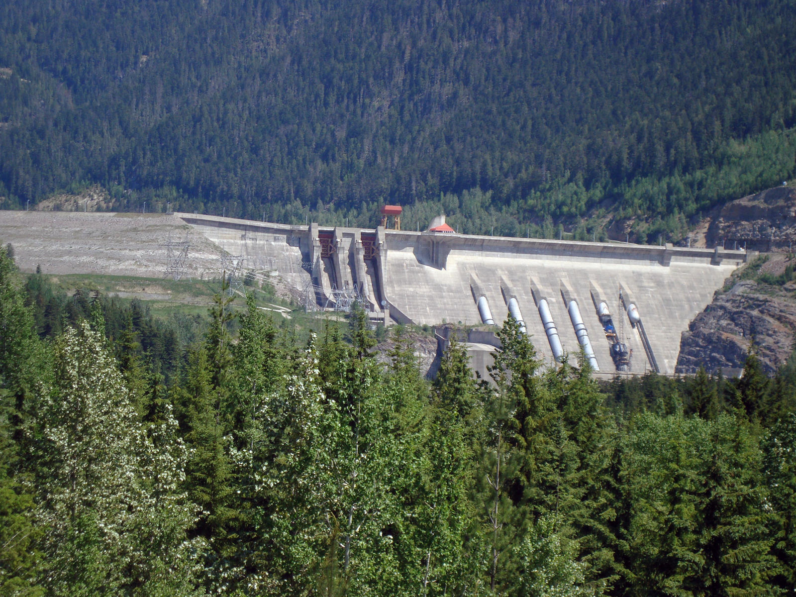
Revelstoke Dam. Revelstoke, BC, Canada
Posted by:  T0SHEA
N 51° 02.945 W 118° 11.707
11U E 416228 N 5655962
Three km North of Revelstoke, this is the largest hydro dam on the upper Columbia River.
Waymark Code: WMFVR5
Location: British Columbia, Canada
Date Posted: 12/04/2012
Views: 5
Coordinates are for the entrance to the visitor centre.
Completed in 1984, the dam initially had 4 461 MW generators installed. In 2010 a fifth generator, of 512 MW capacity, was installed and came online in August.
The visitor centre is open seasonally and features interactive exhibits, activities about the dam and hydroelectricity and a First Nations gallery, opened in 2009, with exhibits about the art, history and culture of the Secwepemc (Shuswap), Okanagan and Ktunaxa peoples. There is also a theatre, gift shop, and outdoor walkway across the top of the Powerhouse.
The reservoir behind the dam is named Lake Revelstoke and stretches almost to Mica Dam, 130 km upriver.