|
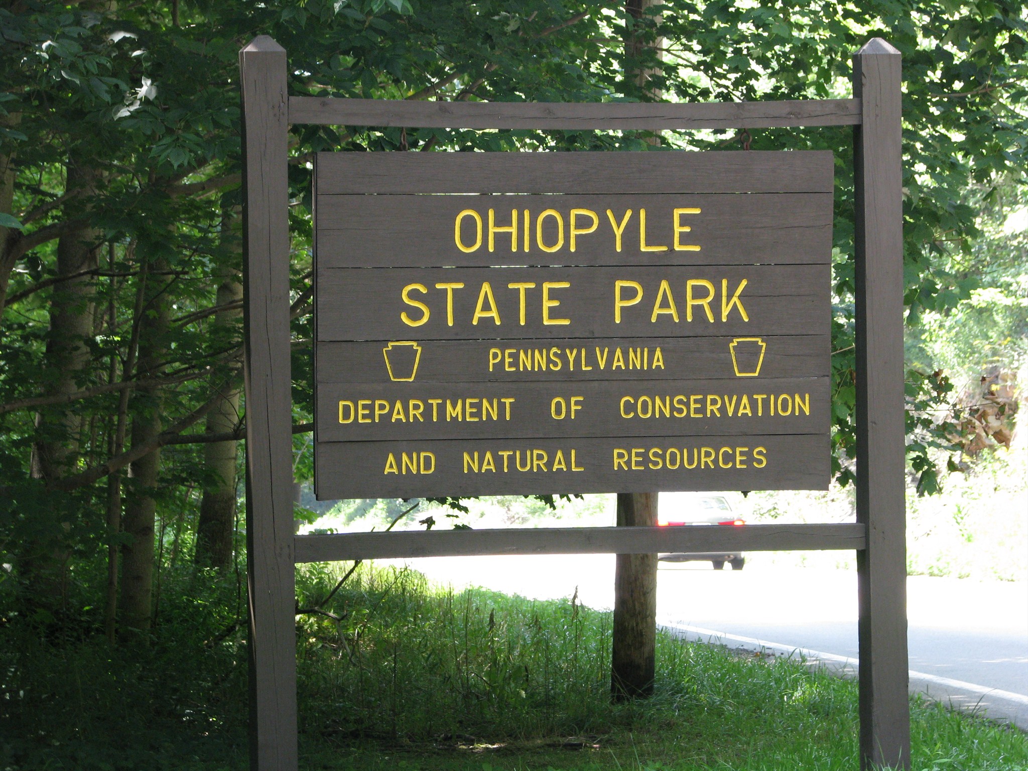
 Ohiopyle State Park - Ohiopyle, Pennsylvania
N 39° 52.080 W 079° 29.664
17S E 628766 N 4414192
Ohiopyle State Park, the second largest State Park in PA spans portions of Dunbar, Henry Clay, and Stewart Townships as well as Ohiopyle Borough in Fayette County, Pennsylvania. Coords will lead you to the Falls Day-Use Area, the park's focal point!
Waymark Code: WMFPTC
Location: Pennsylvania, United States
Date Posted: 11/14/2012
Views: 9
Ohiopyle State Park - Fayette County, Pennsylvania
Excerpted from the park's website
Located at the southern reaches of the Laurel Ridge, Ohiopyle State Park encompasses approximately 20,500 acres of rugged natural beauty and serves as the southern gateway to the Laurel Highlands. Passing through the heart of the park, the rushing waters of the Youghiogheny [yaw-ki-gay-nee] River Gorge are the centerpiece for Ohiopyle. The “Yough” [yawk] provides some of the best whitewater boating in the eastern United States, as well as spectacular scenery
Ohiopyle State Park is a designated Important Mammal Area as well as an Important Bird Area. Visitors to Ohiopyle may be lucky enough to see white-tailed deer, black bear, bobcats, fishers or river otters. Ohiopyle is excellent for bird watching, with a variety of habitats. Visitors can hear the eastern towhee call ‘drink your tea’ in the summer or spot the brilliant red flash of a northern cardinal. The Youghiogheny River provides habitat perfect for water-loving birds such as osprey, mergansers, kingfishers and an occasional bald eagle. Visitors should also be on the lookout for a variety of snakes including copperheads and timber rattlesnakes.
Ferncliff Peninsula:
National Natural Landmark: Created by a meander in the Youghiogheny River, this 100-acre peninsula is a unique habitat that contains many rare and interesting plants. The Youghiogeny River flows north, picking up seeds in Maryland and West Virginia and depositing them at Ferncliff, north of their usual growing range. The deep gorge is slightly warmer than the surrounding area, which allows these southern refugees to survive.
Recognized for its botanical diversity for over a century, in 1973 the 100-acre peninsula was declared a National Natural Landmark. In 1992, Ferncliff Peninsula was declared a State Park Natural Area which will protect it in its natural state.
Waterfalls and Scenic Water Attractions
Cascades:
This beautiful woodland waterfall in Meadow Run is near the park office. The cool, clean waters of this stream make it a favorite haunt of anglers.
Cucumber Falls:
This 30-foot bridal veil waterfall on Cucumber Run is easily reached from Meadow Run Trail and has parking on SR 2019.
Jonathan Run Falls: Several small waterfalls can be seen from Jonathan Run Trail. Just before the trail meets the Great Allegheny Passage, the largest waterfall tumbles over rocks between rhododendron-lined banks.
Meadow RunWaterslides:
The cascading beauty of this unique geologic formation attracts photographers, geologists and recreation enthusiasts. Explore Meadow Run’s ancient streambed to find ripples carved in stone and potholes scoured by spinning rocks and powerful currents. An ADA accessible observation deck is easily reached from the parking area.
Ohiopyle Falls:
The power and beauty of this 20-foot waterfall make it a central attraction to the park. The best viewing is from the observation deck in the Falls Day Use Area, in the heart of Ohiopyle.
Park Type: Hiking / Overnight / Day-Use

Activities:
Picnicking: Both picnic areas in the park provide picnic tables, grills, restrooms and charcoal disposal areas.
Waterslides: Sit in the creek bed and ride the water through two natural waterslides in Meadow Run.
Whitewater Boating: The Youghiogheny River is one of the most popular whitewater boating destinations on the east coast.
The Youghiogheny River has exciting whitewater boating for all experience levels. Only sturdily constructed rafts, kayaks and closed-deck canoes intended for whitewater use may be used in the river. River levels can change the difficulty of rapids. Check at the launch area or contact the park office for current water levels.
The famous Lower Yough begins after the Ohiopyle Falls and flows seven miles downstream to the Bruner Run Take-out. This is the busiest section of whitewater east of the Mississippi River.
Hunting and Firearms: Over 18,000 acres are open to hunting, trapping and the training of dogs during established seasons. Common game species are deer, turkey, grouse, rabbit, squirrel and other small game.
Rock Climbing: Numerous climbing opportunities exist in Ohiopyle State Park. Meadow Run Climbing Area, Bruner Run Climbing Area and a series of four walls along the Lower Youghiogheny section of the Great Allegheny Passage have a combination of top-roping and sport routes for climbers of all abilities.
Hiking: 79 miles of trails
The hiking trails at Ohiopyle showcase the spectacular scenery of the Laurel Highlands. There is a wide variety of hiking trails from short day hikes to challenging backpacking. Always bring a map and water and wear sturdy shoes when hiking.
Biking: 27 miles of trails
The Great Allegheny Passage has 27 miles of trail in the park and connects Pittsburgh, Pennsylvania and Cumberland, Maryland.
Mountain Biking: 25.2 miles of trails
Trails currently open to mountain biking include the Sugarloaf Trail System, Pressley Ridge Trail, McCune Trail, Baughman Trail, Jonathan Run Trail and Sugar Run Trail.
Horseback Riding: 11.6 miles of trails
There is a designated horse trailer parking area located on Grover Road that has a fenced paddock and nearby water.
Camping:
Kentuck Campground has about 200 campsites and is open from April to mid-December.
Winter Activities
Ohiopyle State Park is exceptionally beautiful during the winter, and offers many winter activities. Be sure to dress appropriately for the weather and to follow all trail signs and markings to have a safe and enjoyable experience.
Park Fees: Not listed
Background:
Many important pieces of early American history which tell the story of our nation are tied to Ohiopyle. This area, which provides rest and recreation, once held a past with many conflicts.
Native Americans
When Europeans first reached North America, the mysterious Monogahela people inhabited the Mississippi River and its tributaries, including the Youghiogheny River. For unknown reasons, this powerful nation disappeared just as Europeans arrived, leaving few traces behind. Other nations of American Indians migrated through the area as the increasing European population pushed them out of their lands. The name Ohiopyle is believed to be derived from the American Indian word “ohiopehhla” which means “white, frothy water.”
French and Indian War
In the mid-1750s, the French and the British vied for the Ohio River Valley. Employed by the British, George Washington traveled through the Ohiopyle area to talk to the French in 1753.
A year later, Washington returned with 150 soldiers to evict the French. Washington arrived at Confluence and tried to find an easier travel route by the river. However, the falls were impassable. Washington continued towards the future site of Pittsburgh and encountered a small party of French soldiers. One French soldier escaped and sought reinforcements. Washington built Fort Necessity to await the French retaliation. Overwhelming French forces caused Washington to surrender. The French and Indian War had begun. Two British armies cut roads through the area, eventually defeating the French and securing the important Ohio River Valley.
Whiskey Rebellion
Even as the new United States was formed, the area surrounding Ohiopyle continued to see conflicts. The new nation placed a tax on whiskey in 1791, which angered farmers in western Pennsylvania. The farmers united to attack tax collectors and their movement became known as the Whiskey Rebellion. When a federal marshal was attacked in 1794, George Washington and 6,000 militiamen marched the Braddock Road near Ohiopyle to put down the revolt.
Trees, Trains and a Growing Nation
The land around Ohiopyle was slowly settled and eventually the rugged land near the river was settled. The early settlers were farmers, hunters and trappers. In 1811, the National Road passed near Ohiopyle, making the area more accessible to settlers and to markets. Lumbering became a major industry. The production of barrels and other wood products, tanning, salt mining and coal mining were small industries.
In 1871, railroads reached Ohiopyle. The Baltimore and Ohio Railroad and eventually the Western Maryland Railroad had stations in Ohiopyle. At the turn of the century, lumbering became a major industry with narrow gauge railroads snaking around the hills, hauling lumber to mills in town and larger railroad lines. A large mill was erected near Ohiopyle Falls. The lumber of the surrounding Laurel Highlands was integral to the nation’s Industrial Revolution by providing fuel to the escalating steel, coal and iron industries.
The railroads brought tourists to Ohiopyle. It cost one dollar to ride from Pittsburgh to Ohiopyle and back. By the 1880s, there were numerous hotels in the area and Ferncliff Peninsula had a boardwalk, dance pavilion, bowling alley, walking paths, tennis courts, ball fields, fountains and the Ferncliff Hotel.
Changing Landscapes
The freedom afforded by the automobile decreased the tourists coming to Ohiopyle by train. The decline in visitors was eventually the end of the Ferncliff resort. In time, the buildings were removed, allowing the forests to regenerate. Foundations of these buildings can still be seen in the Ferncliff Peninsula. Recognizing the natural beauty of the area, the Western Pennsylvania Conservancy purchased much of the property and sold it to the Commonwealth in the mid-1960s
Date Established?: 1965
Link to Park: [Web Link]
Additional Entrance Points: Not Listed
|
Visit Instructions:
To log a visit to a waymark in this category, please include the following ...
1. A picture you took at the park.
2. Your favorite activity at the park.
3. How do you like the park.
|