
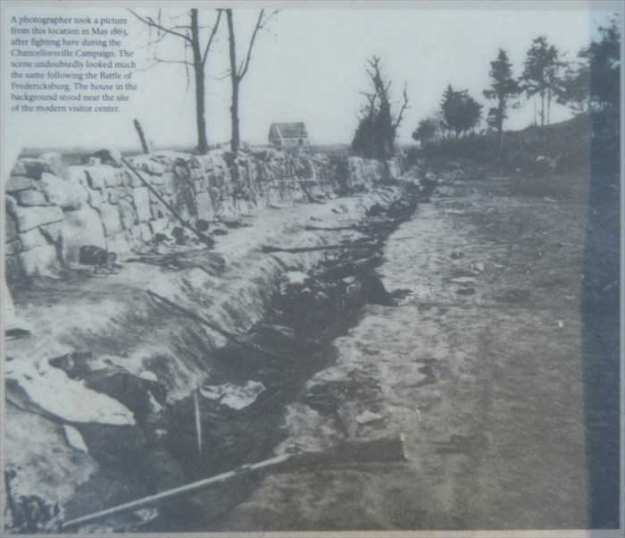
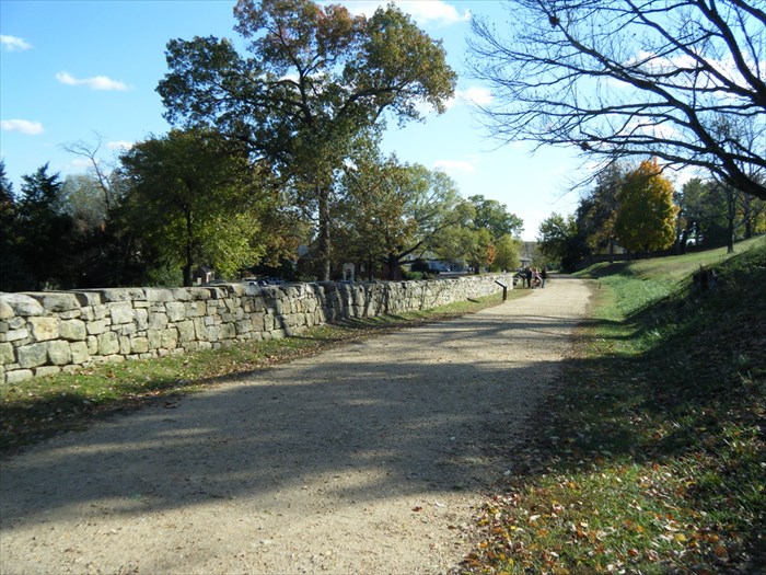
Sunken Road, 1863 Battle of Chancellorsville
Posted by:  garmin_geek
N 38° 17.715 W 077° 28.102
18S E 284140 N 4241456
Famous image taken during the Battle of Chancellorville, May 1863. It must have looked the same during the december 1862 Battle of Fredericksburg.
Waymark Code: WMA2TE
Location: Virginia, United States
Date Posted: 11/07/2010
Views: 16
1863
|
2011
|
On December 13, 1862, Union troops poured out of Fredericksburg to attack Confederate forces behind the town. The heaviest blows fell here at Marye's Heights. For eight hours Union troops repeatedly charged the heights only to be slaughtered by the volleys of Confederate riflemen occupying a sunken road at the base of the hill.