Hominy Pot
Posted by: Groundspeak Premium Member silverquill
N 43° 23.964 W 071° 57.639
19T E 260245 N 4809427
Hominy Pot
Waymark Code: WM90D
Location: New Hampshire, United States
Date Posted: 03/14/2006
Published By:Groundspeak Premium Member silverquill
Views: 38

HOMINY POT


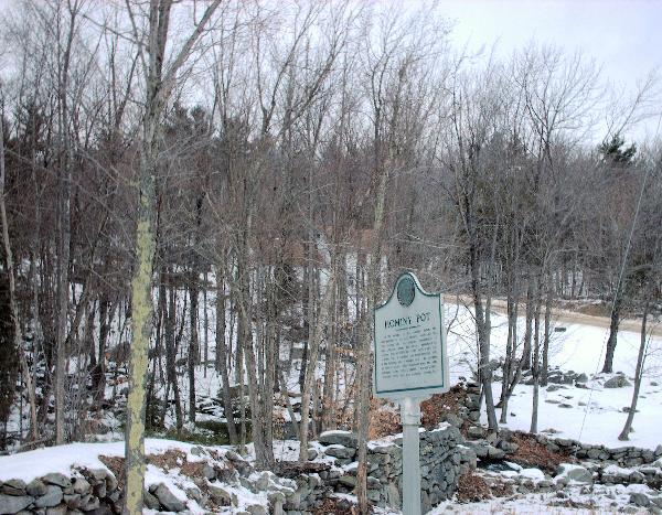
In the vicinity of this marker, during the last quarter of the 18th century, were built the first homes and the original schoolhouse of New London. Along this brook, developed by several men at different times, were a saw mill, a grist mill, a carding and cloth-dressing mill, a hat factory, and a shingle mill. -- all powered by falling water. This industrial area has been variously called "Minot's Square," Harvey's Mills," "Trussell's Mills," and most lastingly, "Hominy Pot."

THIS MARKER ERECTED BY THE TOWN OF NEW LONDON AUGUST 1974

Marker Name: Hominy Pot

Marker Type: Local/Unofficial

Marker Location: New London

Date Marker Established: 1974

Official Marker Number: Not listed

Visit Instructions:
-- At least one original photo of the marker showing some of the background. (You or team members may be included, and you may submit multiple photos.)

-- Date of your visit

-- Optional: Any interesting details of your trip

-- Optional: Additional research, links, etc. relevant to the historical event, person or place commemorated.
Search for...
Geocaching.com Google Map
Google Maps
MapQuest
Bing Maps
Nearest Waymarks
Nearest New Hampshire Historical Markers
Nearest Geocaches
Create a scavenger hunt using this waymark as the center point
Recent Visits/Logs:
Date Logged Log User Rating  
1racnrev visited Hominy Pot 10/05/2013 1racnrev visited it
nomadwillie visited Hominy Pot 07/06/2013 nomadwillie visited it

View all visits/logs