
Lake Champlain: Charlotte, VT - Essex, NY
Posted by:  Telomere
N 44° 18.105 W 073° 17.798
18T E 635871 N 4906798
The LCT southern ferry route, connecting central Vermont to historic Essex, NY. Coordinates are for the Vermont side.
Waymark Code: WM7N8R
Location: Vermont, United States
Date Posted: 11/12/2009
Views: 17
This route is only 2.78 miles, and crossing takes about 20 minutes - but the scenery on both sides of the lake is memorable. From the middle of the lake, the Vermont scenery includes clear views of Mount Mansfield and Camel's Hump. The opposite view is a wide vista of New York's eastern Adirondack Mountains. The harbors and shorelines on both sides are also picturesque.
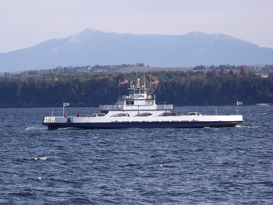
Ferries accommodate pedestrians and all sizes of vehicles, up to tractor trailers. Onboard amenities include restrooms and enclosed seating areas.
Coordinates for the Essex, NY side are: N 44.310719 W 73.35191; Note please, that credit cards are not accepted at this crossing. For more schedule and ticket info, check the LCT Website.