Devil's Beanpot
Posted by: Groundspeak Premium Member Mountain_Wanderer
N 42° 53.222 W 071° 42.505
19T E 278831 N 4751829
One of three Devil named features near Purgatory Falls.
Waymark Code: WM65Z
Location: New Hampshire, United States
Date Posted: 01/17/2006
Published By:Groundspeak Premium Member OpinioNate
Views: 60


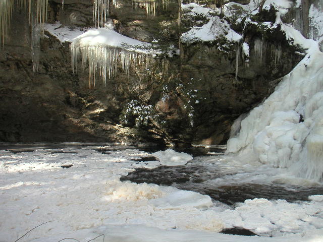
Near the top of the falls is a naturally formed deep hole in the rock and it is called alternately The Devils Bean Pot or The Devil's Bathtub. In climbing down into the hole, one finds names and dates carved in the rock back to the 1800's. In earlier times the area was used as sort of an amusement park with a pavillion, games and picnic areas. The only remaining evidence is some iron bars driven into the rock atop the falls where handrails had once been installed to aid in the visitors traversing of the upper falls area. There is also a geocache- Devil's Kitchen and a letterbox neaarby.

Purgatory Falls
Devilish Location: Not listed

Visit Instructions:
Enjoy your visit, tell your story and post a picture.
Search for...
Geocaching.com Google Map
Google Maps
MapQuest
Bing Maps
Nearest Waymarks
Nearest Geological Devilish Locations
Nearest Geocaches
Create a scavenger hunt using this waymark as the center point
Recent Visits/Logs:
Date Logged Log User Rating  
Telomere visited Devil's Beanpot 04/25/2009 Telomere visited it
Trophywife visited Devil's Beanpot 04/25/2009 Trophywife visited it

View all visits/logs