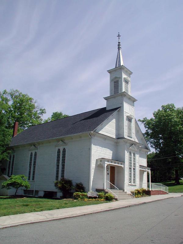
Adairsville United Methodist Church – Adairsville, GA
Posted by:  Lat34North
N 34° 22.069 W 084° 56.077
16S E 689922 N 3804872
The Adairsville United Methodist Church, located on the Public Square in Adairsville, GA, is one of many buildings on the square that comprise the Adairsville Historic District.
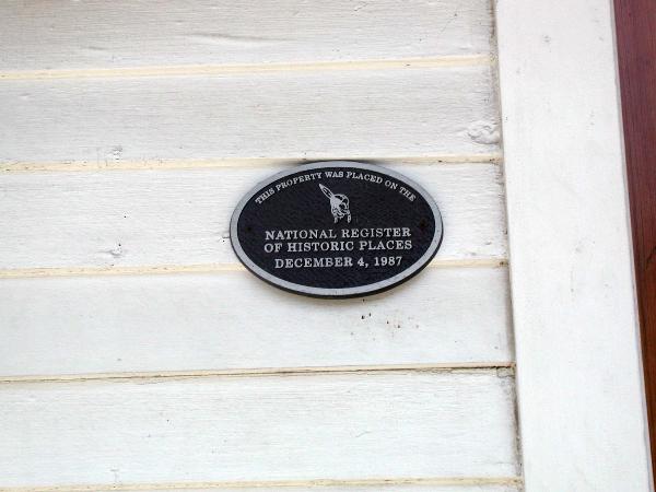
Waymark Code: WM3QRB
Location: Georgia, United States
Date Posted: 05/06/2008
Views: 8
The
Adairsville Historic District was placed on the registry in 1987. It is roughly along Main St. bounded by King & Elm Sts., and the city limits on S & W, Adairsville and includes the Adairsville Public Square. Most building that face the Public Square have a NRHP plaque dated 1987 on them. The Adairsville United Methodist Church is located on the north side of the square between Public Square and Main Street (Old US 41 – the Dixie Highway). The church was built in 1886.