Lower Aetna Dam - Medford Lakes, NJ
N 39° 51.794 W 074° 48.213
18S E 516802 N 4412596
This dam was completed in August of 2007 and officially reopened on September 6 of the same year. It is quite a marvel to see and walk upon. There are benches to sit, railings to lean and a plaque which marks the engineering feat.
Waymark Code: WM3EH8
Location: New Jersey, United States
Date Posted: 03/23/2008
Views: 47
Medford Lakes was heavily damaged on July 12, 2004, during a day which saw 12 inches (300 mm) of rain fall over a 14-hour period. The heavy rain caused a series of dam breaks and breaches in the surrounding areas of Southern New Jersey. The flooding in Medford Lakes was precipitated by the destruction of a dam within Camp Ockanickon, a YMCA camp to the South. This caused the swelling of Upper Aetna Lake and the destruction of the Upper Aetna Dam. The collapse of the Upper Aetna Dam then caused Lower Aetna Lake to swell, which in turn destroyed the
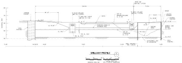
Lower Aetna Dam.
The failed dams are being replaced with plans to fill the lakes by the spring of 2007. Although this tragedy caused the loss of two large lakes, Medford Lakes still retains its remaining 19 lakes. On Wednesday, August 29th, 2007, Beach 1, on the North end of Lower Aetna lake reopened to the public. And on Thursday, September 6th, the Lower Aetna dam was officially reopened with a ribbon cutting attended by local officials and students riding their bikes for the first day of school.
I was able to walk around and inspect the flood damaged area, look under at the spillway and generally have complete access to the entire area. I would recommend reading about the flood first before visiting so you can know what to look for, most notable, a canoe wrapped around a tree. Now all you have to do is read up on it and find out how it got there. (see picture)